GeoVerse Lab
← Applied Geoscience Solutions Division

Land Site Survey & Assessment Center

Reconstructs subsurface site characteristics for infrastructure projects — tunnels, dams, industrial facilities — by integrating engineering-geological mapping, GPR, and borehole data with ground modeling, and evaluates rock-quality classification and hydrogeological behavior through simulation.

Oil & Gas Exploration Project CenterCritical Minerals Exploration CenterCarbon Capture & Storage Project CenterApplied Geothermal Energy Project CenterNuclear Waste Disposal Project CenterOffshore Wind Farm Project CenterEnvironmental Geoscience CenterGeohazards & Monitoring Project CenterLand Site Survey & Assessment CenterSpecial Applications Center
Research Fields 13
Engineering Geological Mapping & Borehole Logging
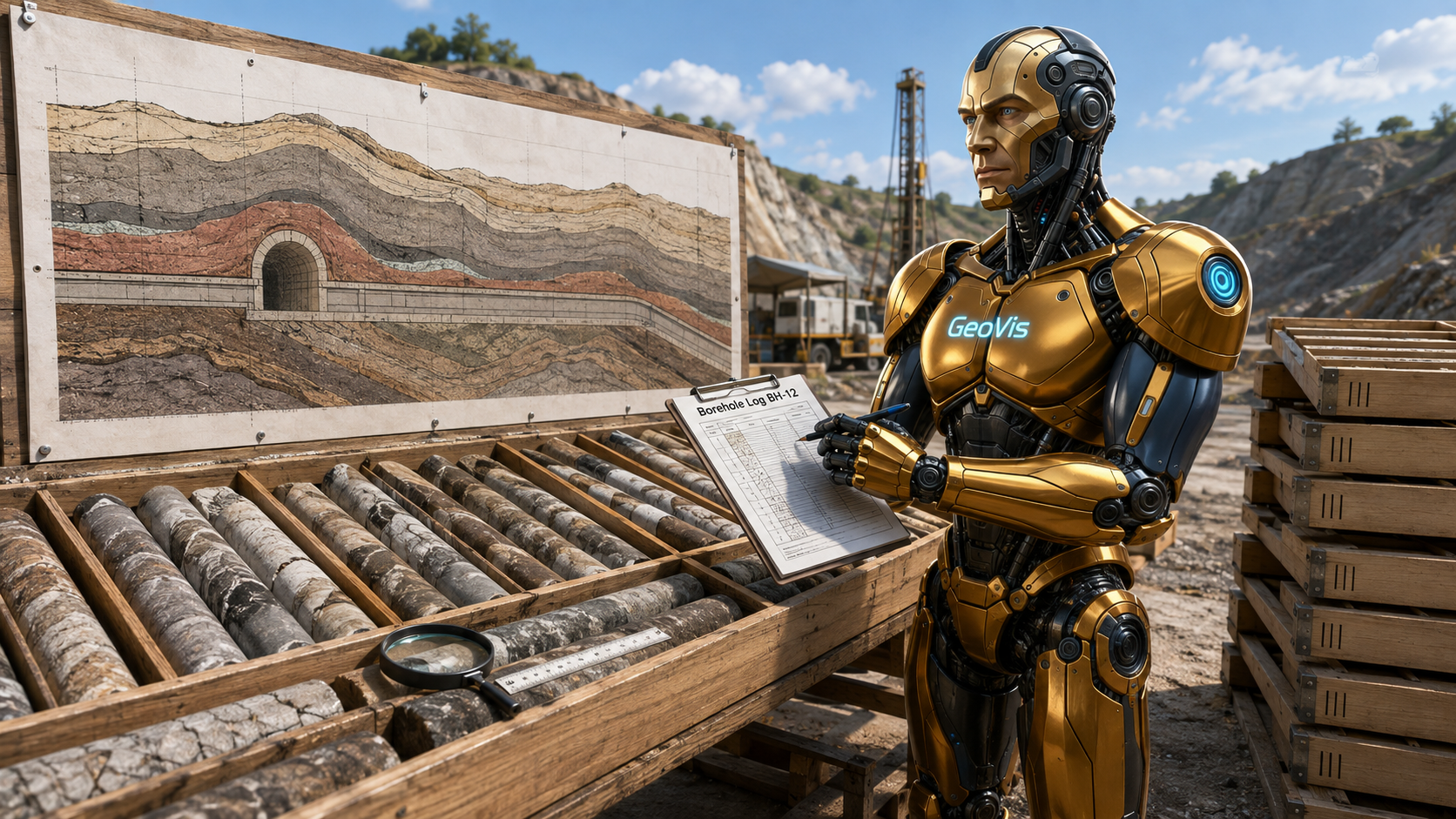
🗻 Engineering Geological Mapping & Borehole Logging
Engineering geological mapping and borehole logging integrates continuous core logs from b…
Ground-Penetrating Radar (GPR) Surveying
📡 Ground-Penetrating Radar (GPR) Surveying
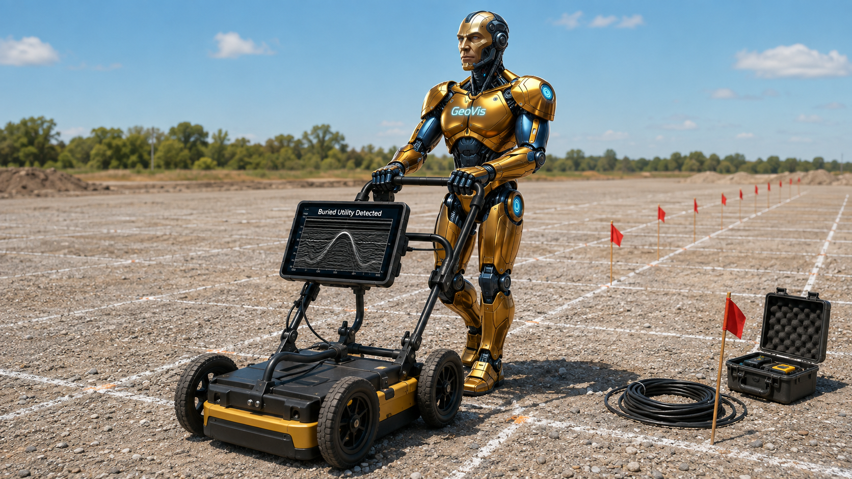
Ground-penetrating radar surveying locates buried utilities and shallow voids beneath a pr…
Rock Quality Designation (RQD) & Rock Mass Classification
⛏️ Rock Quality Designation (RQD) & Rock Mass Classification
Rock mass classification combines quantitative core-quality measurement with broader geome…
Hydrogeological Testing & Aquifer Characterization
💧 Hydrogeological Testing & Aquifer Characterization
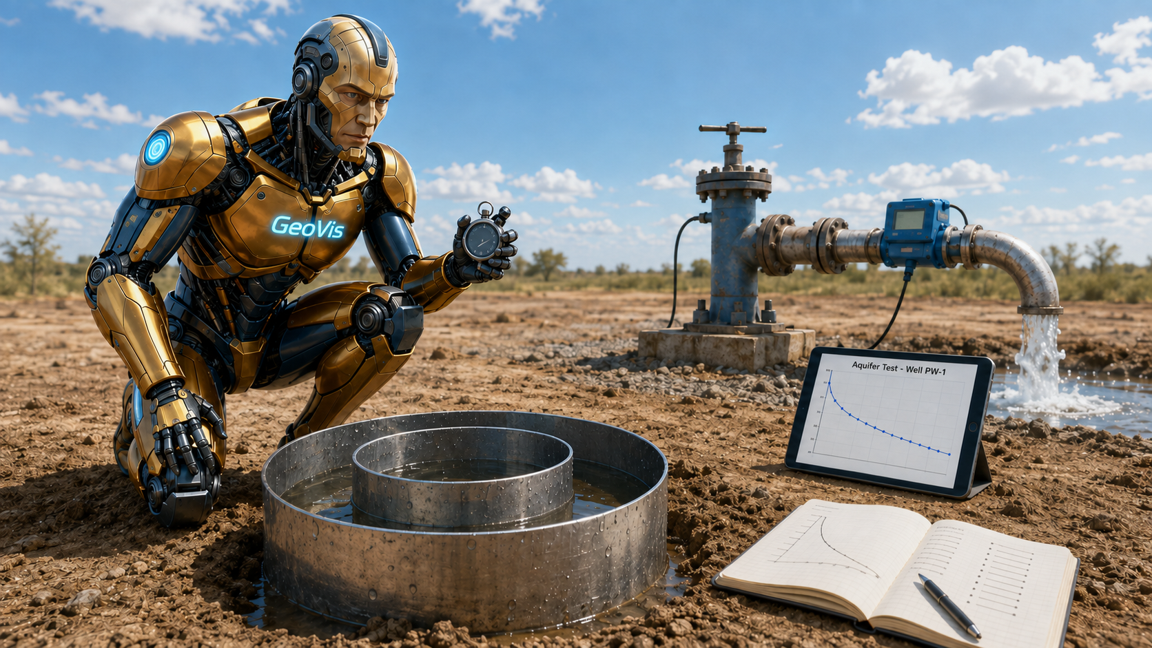
Hydrogeological testing characterizes how water moves through a site's soil and aquifer to…
Shallow Seismic Refraction & MASW Surface Wave Methods
📈 Shallow Seismic Refraction & MASW Surface Wave Methods
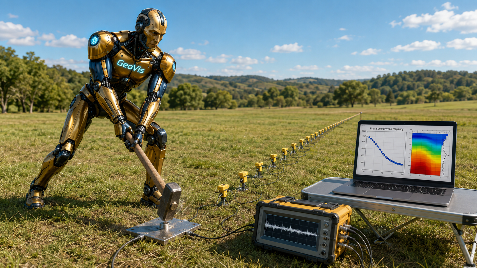
MASW surveying determines a site's shallow shear-wave velocity profile by recording and in…
Site Response & Vs30 Shear-Wave Characterization
🏢 Site Response & Vs30 Shear-Wave Characterization
Site response analysis predicts how strongly a specific site's near-surface soil layers wi…
Cone Penetration Testing & In-Situ Strength Interpretation
🔩 Cone Penetration Testing & In-Situ Strength Interpretation
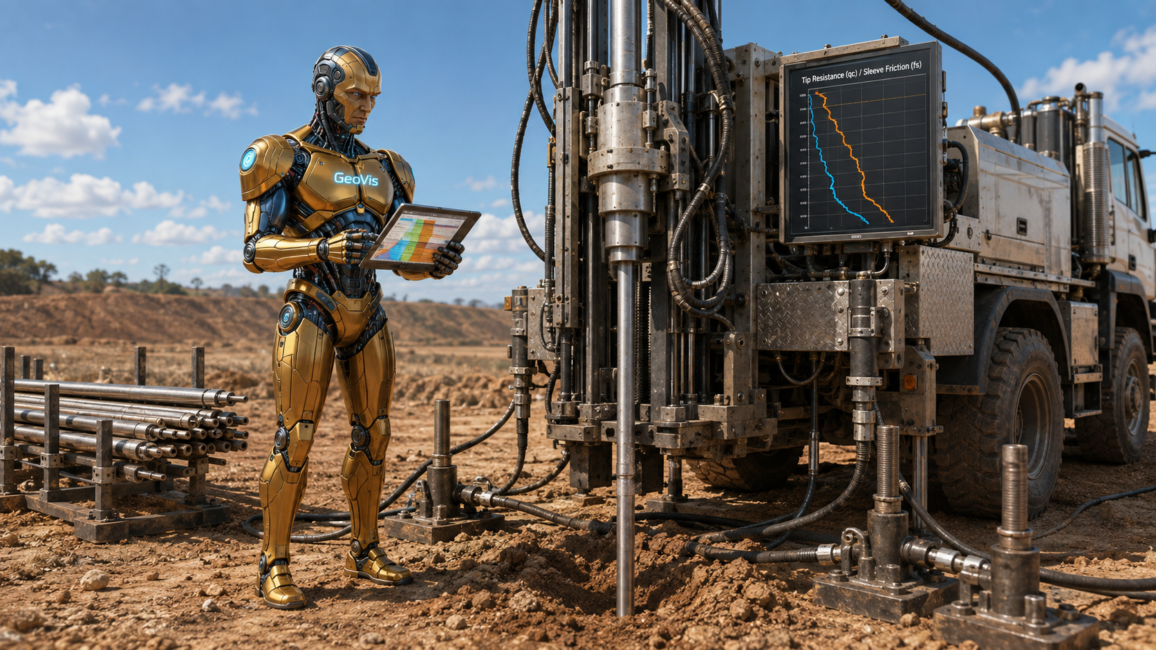
Cone penetration testing pushes an instrumented steel cone continuously into the ground at…
Soil Classification & Geotechnical Index/Consolidation Properties
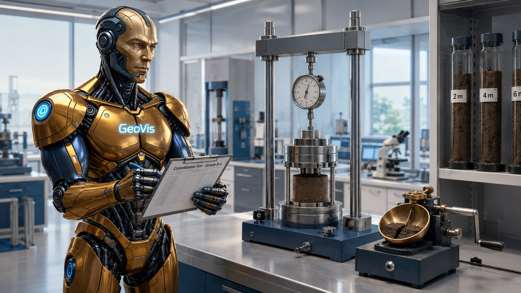
🧫 Soil Classification & Geotechnical Index/Consolidation Properties
Soil classification and consolidation testing samples borehole soil at each depth, classif…
Foundation Engineering & Bearing Capacity Analysis
🏛️ Foundation Engineering & Bearing Capacity Analysis
Foundation engineering calculates the bearing capacity and expected settlement of each pro…
Borehole Geophysics & Electrical Well Logging
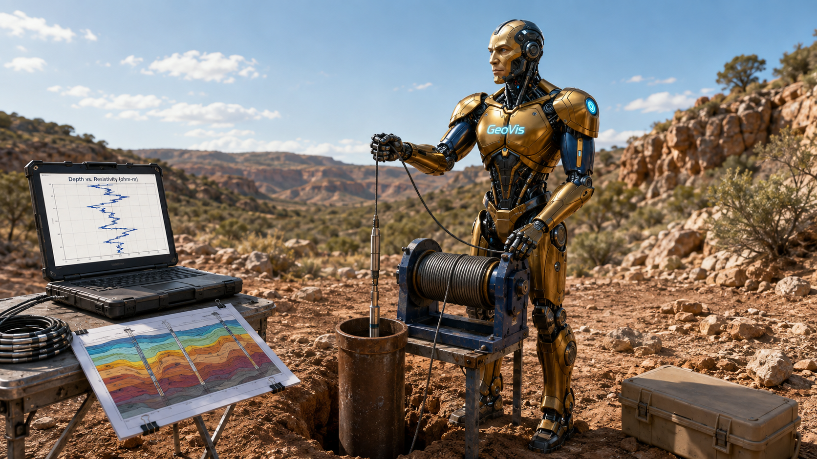
🔌 Borehole Geophysics & Electrical Well Logging
Borehole electrical resistivity logging lowers an electrode array down each site borehole …
Tunnel Site Investigation & Ground Characterization
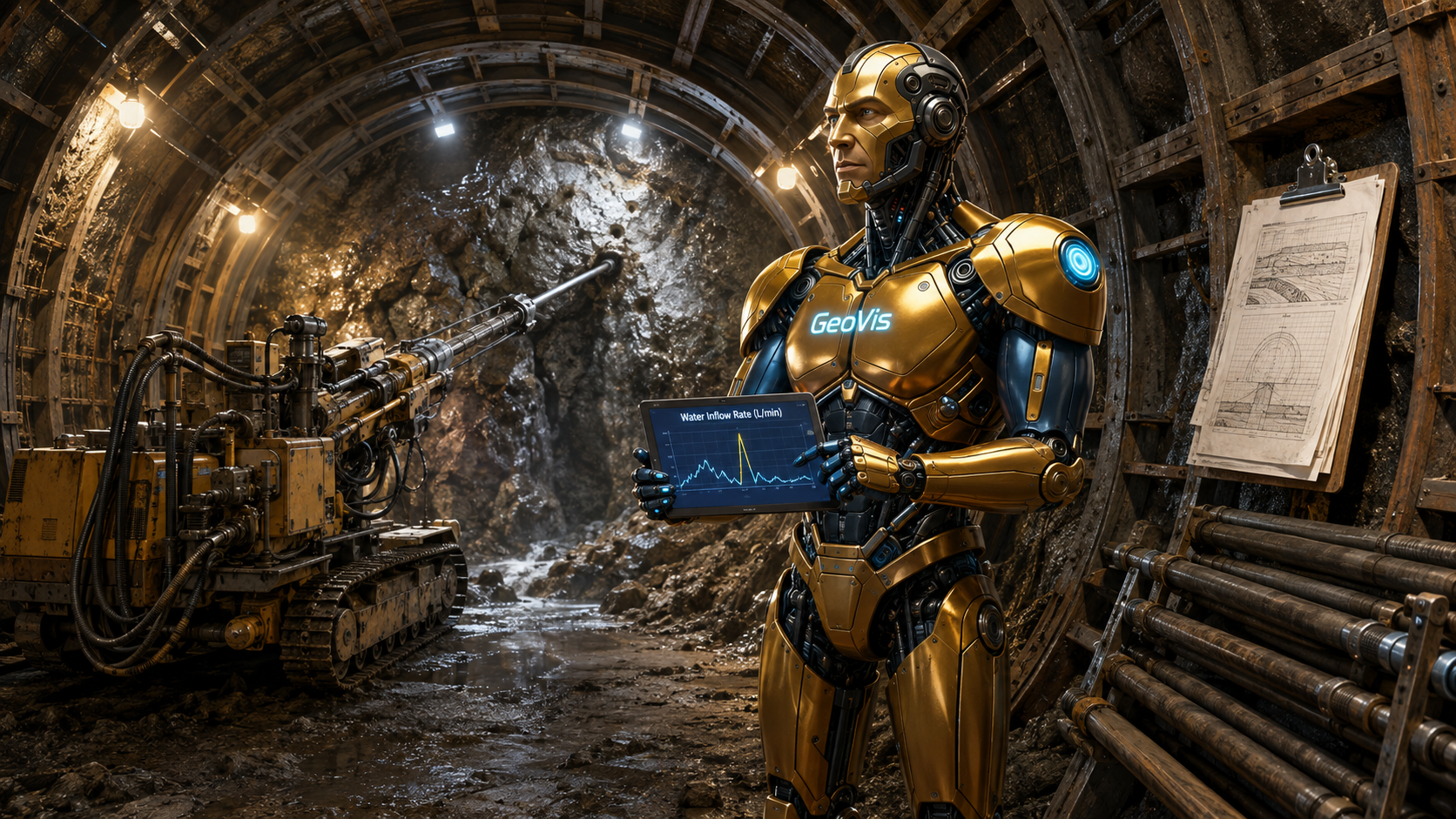
🚇 Tunnel Site Investigation & Ground Characterization
Tunnel ground characterization drills probe holes ahead of an advancing tunnel face to det…
Dam Site Geological Investigation
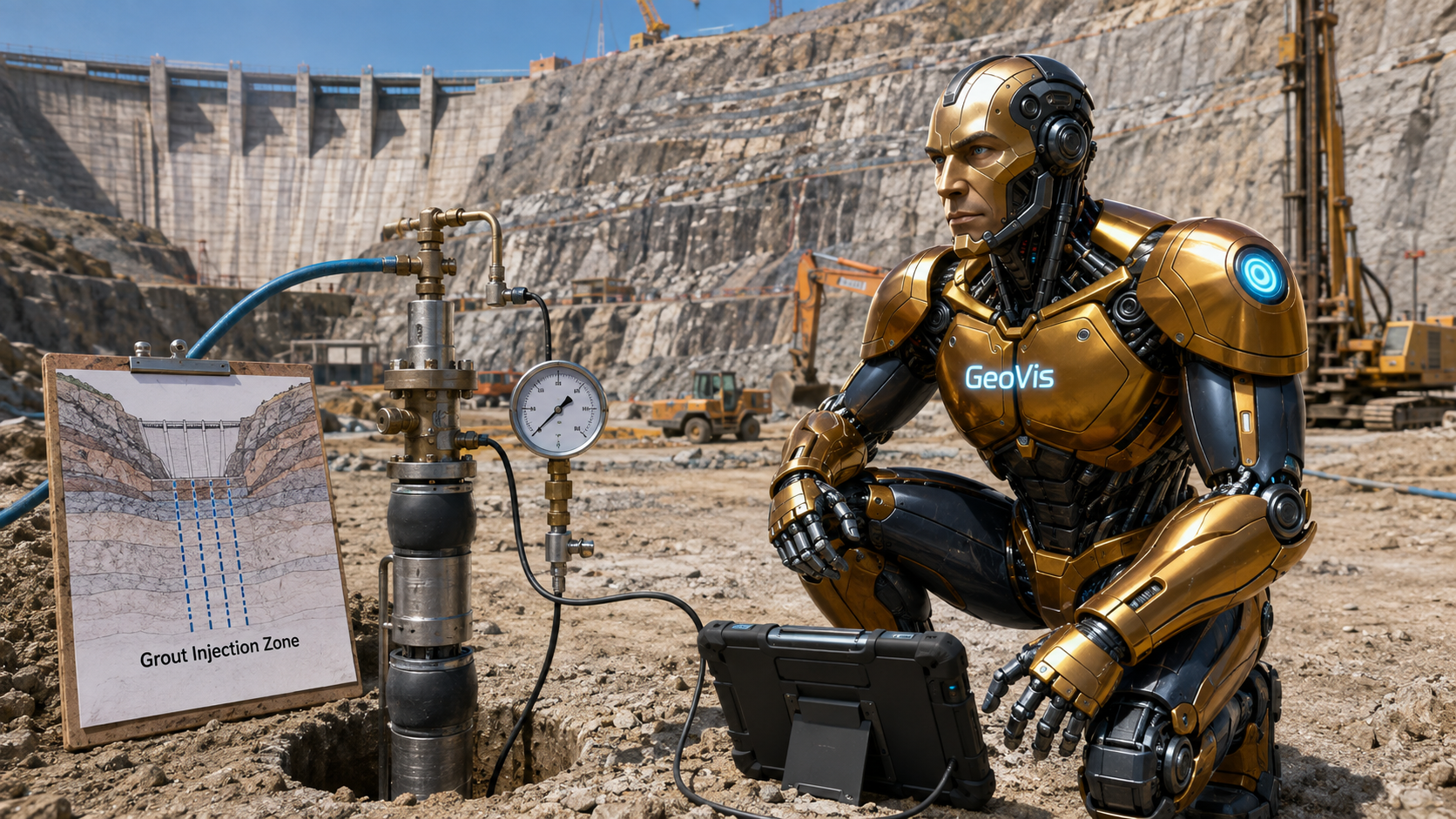
🏞️ Dam Site Geological Investigation
Dam site geological investigation maps and cores the rock at a dam's foundation and abutme…
Karst & Ground Void Detection
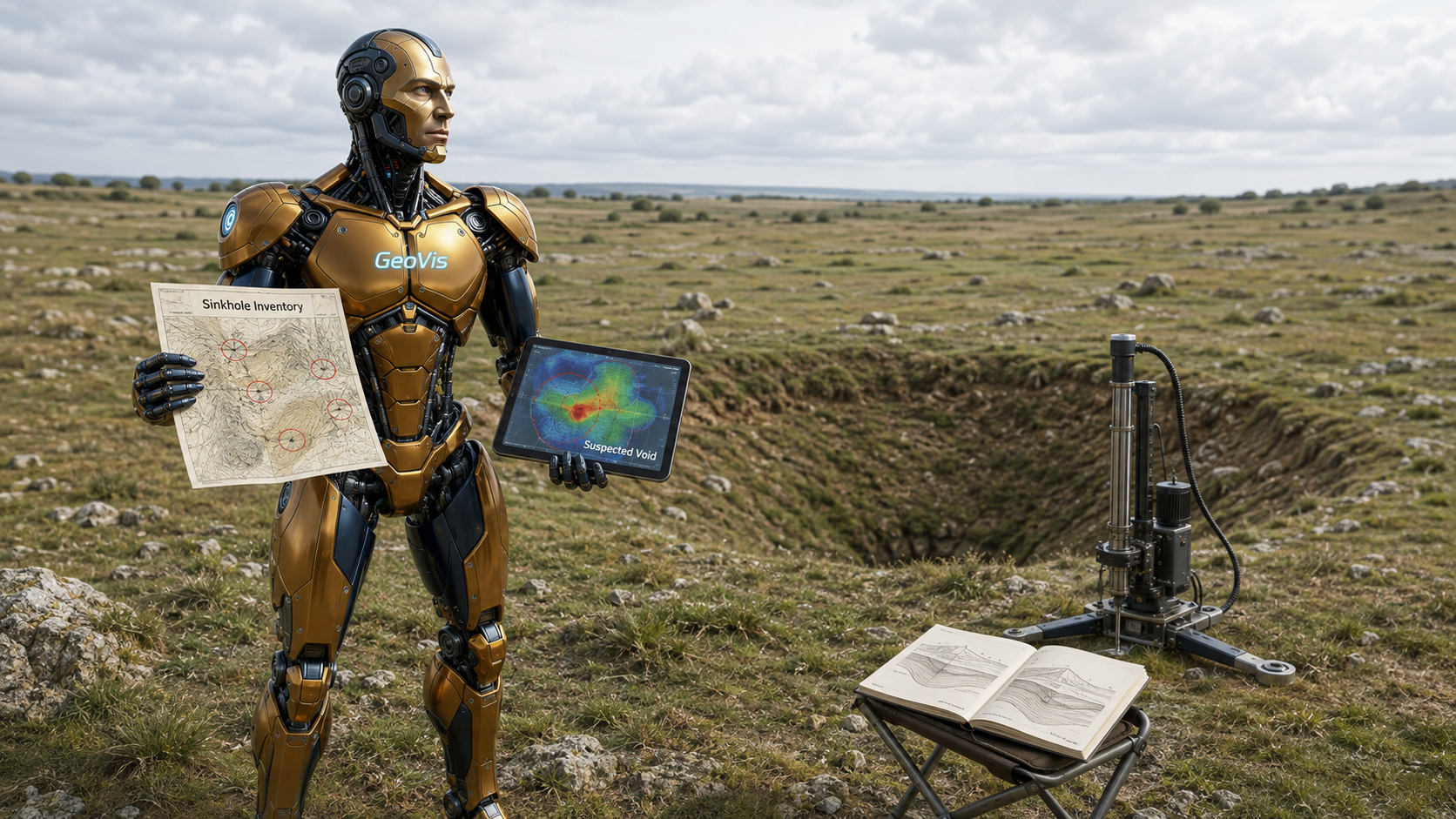
🕳️ Karst & Ground Void Detection
Karst and ground void detection identifies sinkholes, caves, and other dissolution-related…