← Applied Geoscience Solutions College
Land Site Survey & Assessment Department
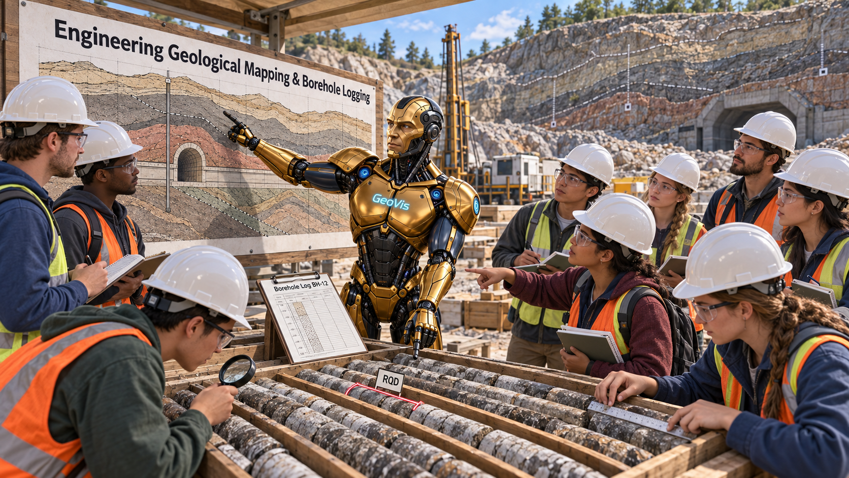
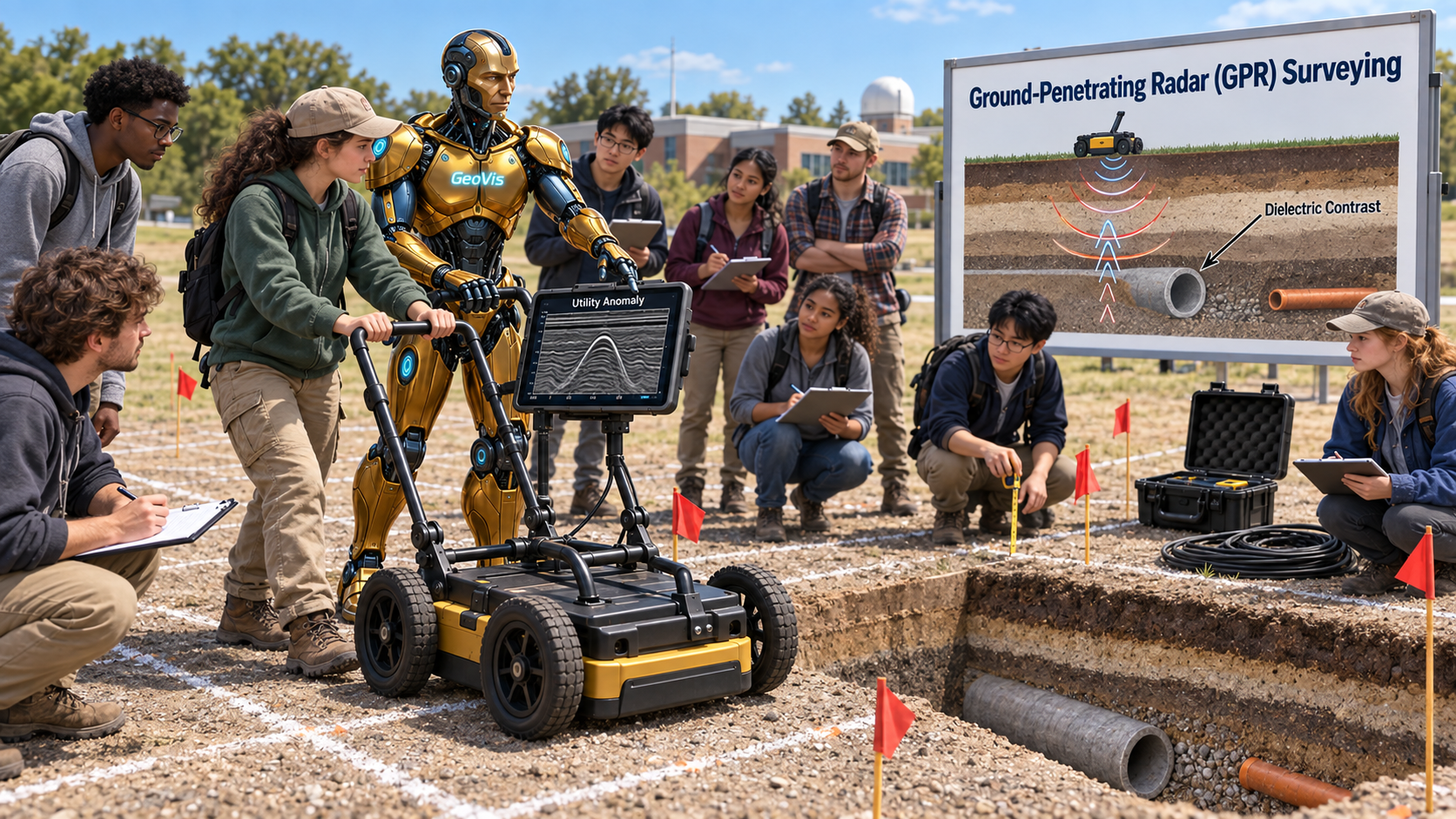
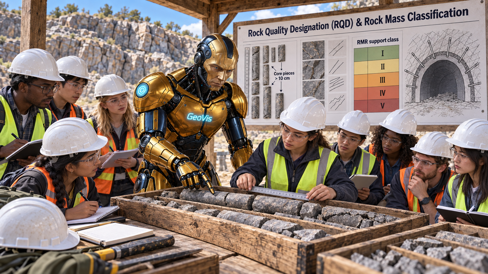
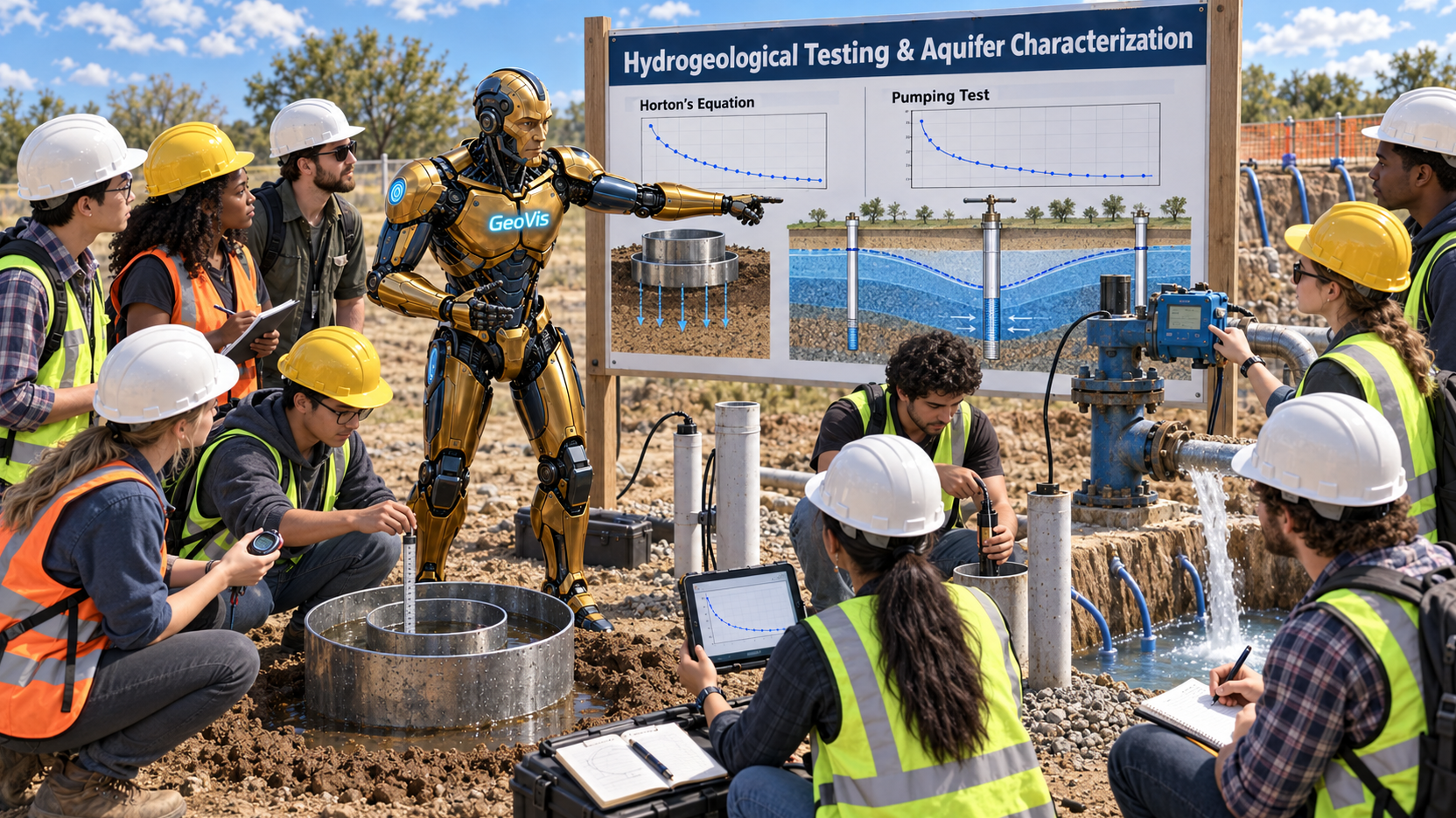
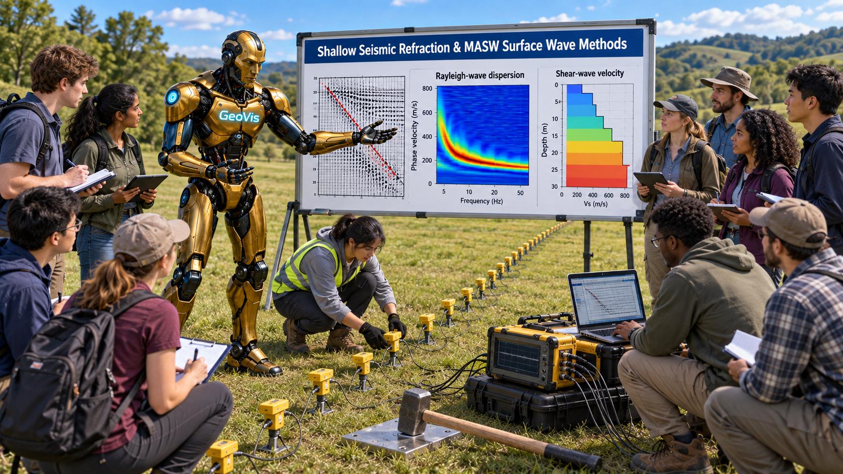
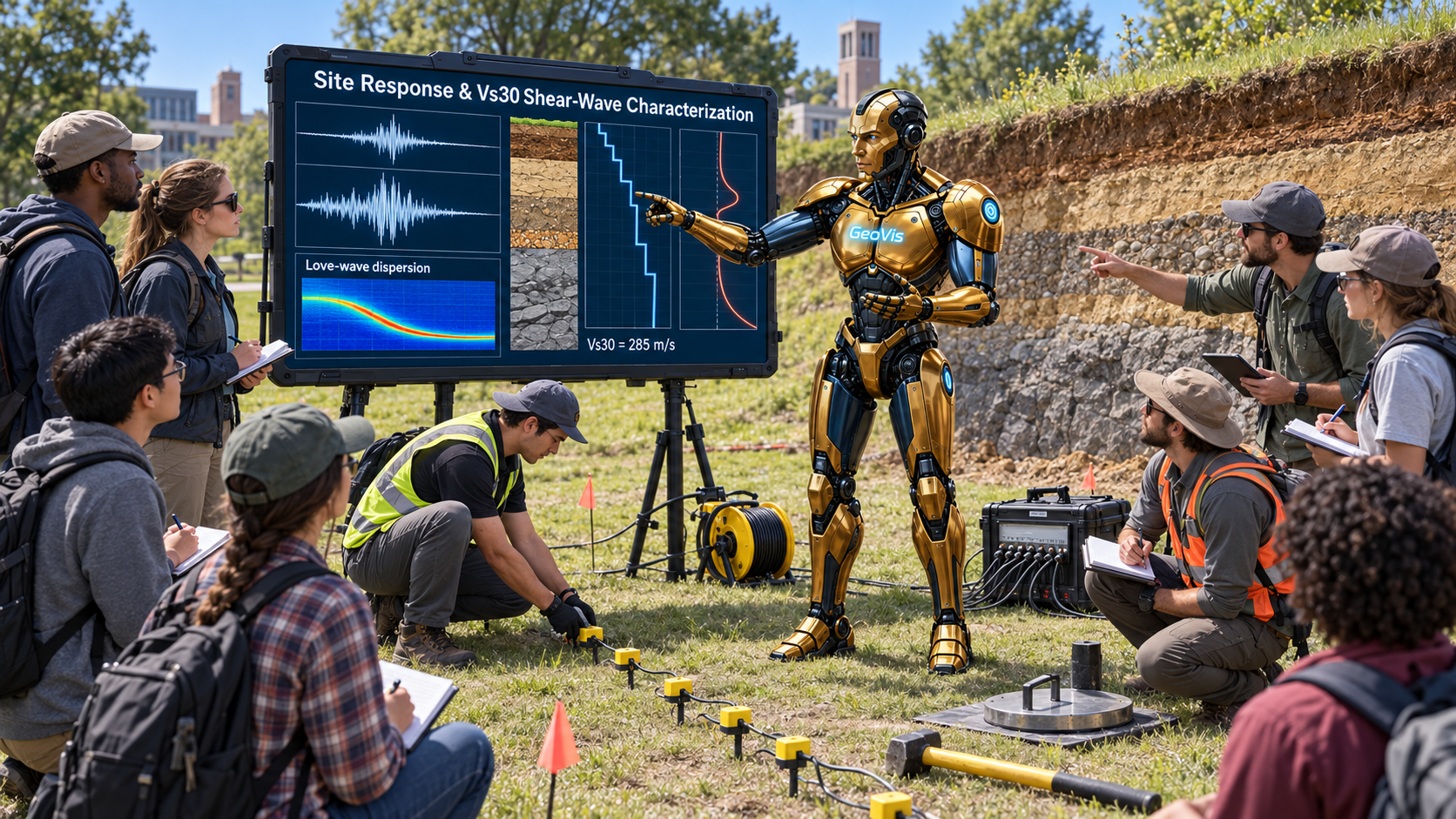
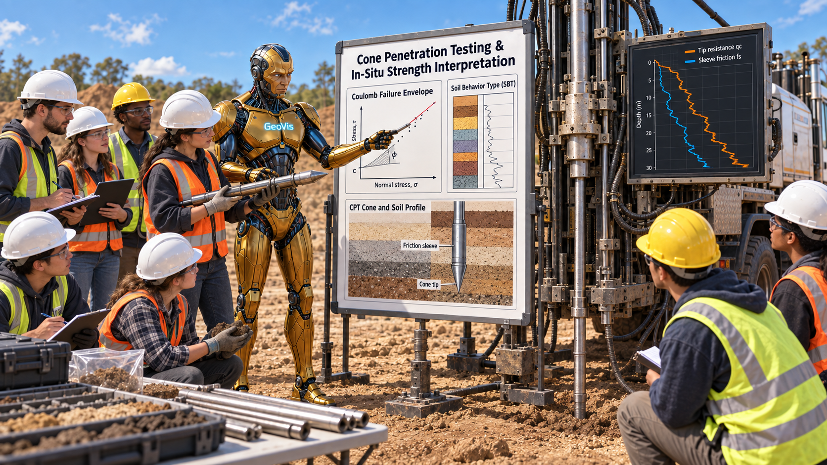
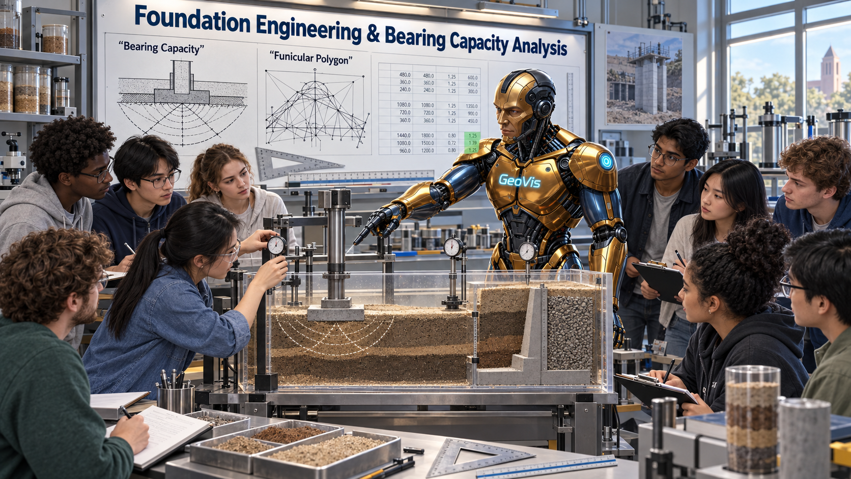
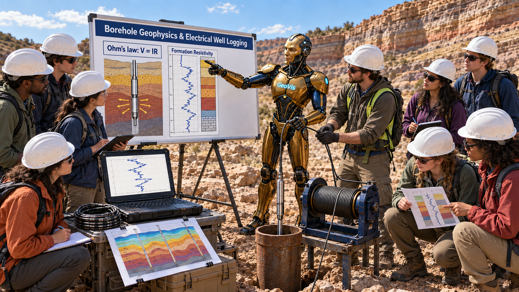
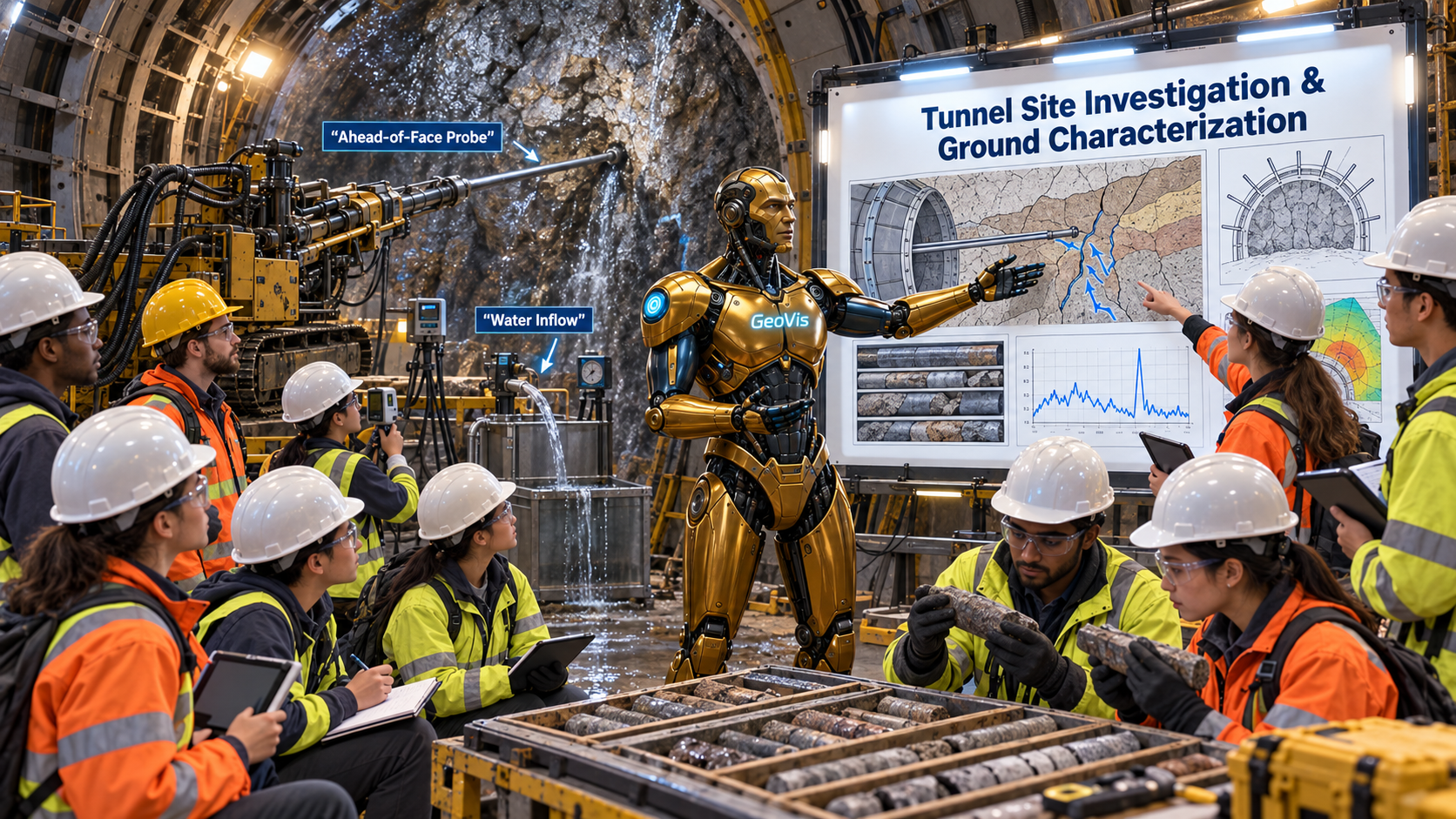
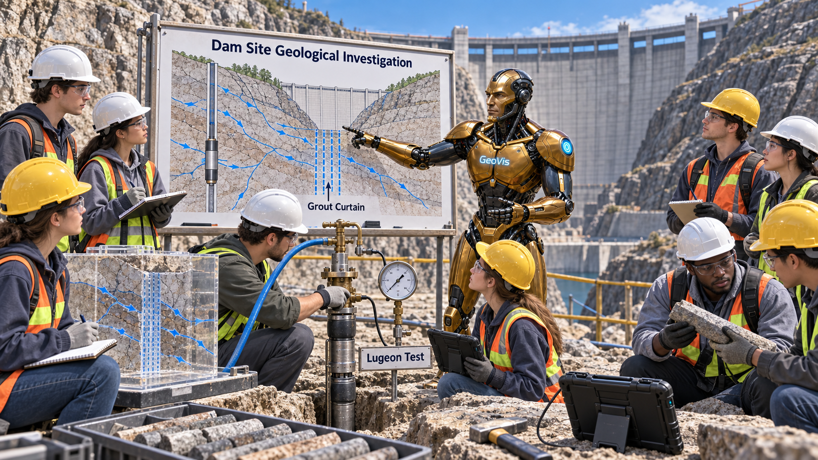
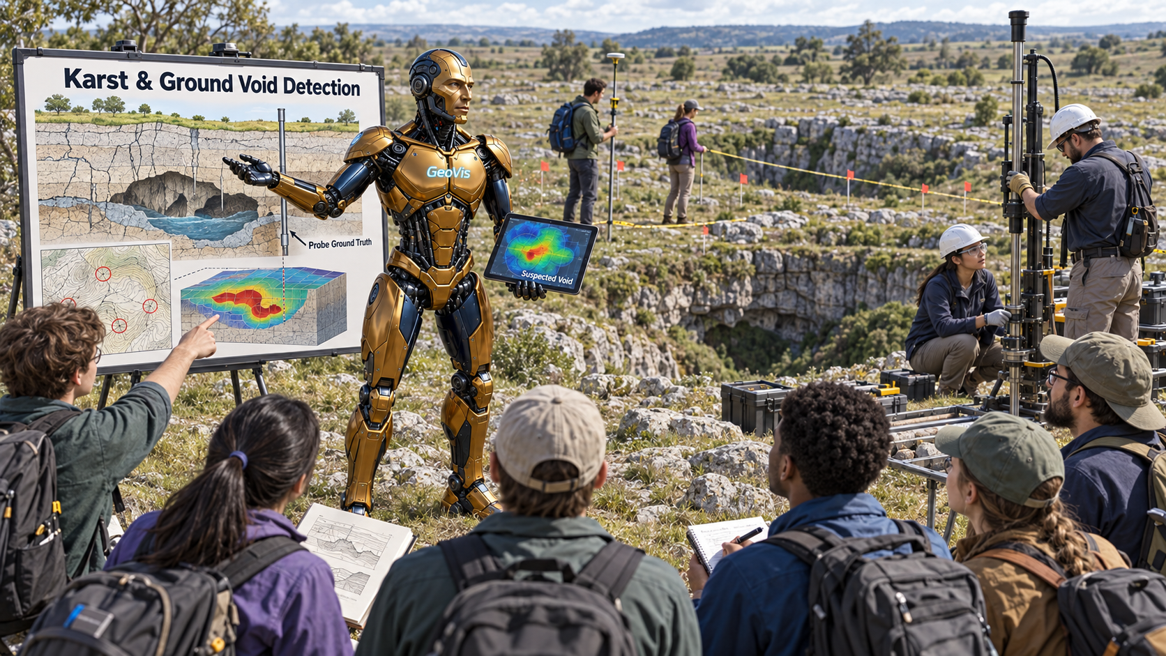
Land Site Survey & Assessment trains specialists to accurately characterize subsurface conditions before infrastructure construction — tunnels, dams, and industrial facilities. Students learn to integrate heterogeneous data — engineering-geological mapping, GPR, and borehole records — into a coherent ground model, and repeatedly practice evaluating rock-quality classification and hydrogeological behavior through simulation. With the integrative skill to weave diverse survey data into a single ground model, graduates can take ownership of the site-investigation phase of infrastructure projects.
⚙️ GeoAcademy System Administration College🖥️ AI & Computing Sciences College🔬 Basic Sciences College⚡ Intelligent Geophysical Exploration College🛢️ Resource & Energy Engineering College🌍 Applied Geoscience Solutions College💼 Economics, Policy & Strategy for the Future College🎓 Education & Training Development College🚀 Innovation & International Collaboration College
Carbon Capture & Storage Project DepartmentNuclear Waste Disposal Project DepartmentOil & Gas Exploration Project DepartmentApplied Geothermal Energy Project DepartmentGeohazards & Monitoring Project DepartmentOffshore Wind Farm Project DepartmentCritical Minerals Exploration DepartmentLand Site Survey & Assessment DepartmentSpecial Applications DepartmentEnvironmental Geoscience Department
Field-based Curriculum · 13
This department's curriculum is built directly on the GeoVerse Lab research fields its professors hold — click a field to see how it is taught.