🎓GeoAcademyGeoVerse Lab
← Basic Sciences College

Remote Sensing & Earth Observation Dept

The Remote Sensing & Earth Observation Department builds students' ability to develop algorithms for processing and analyzing satellite remote-sensing and multispectral/hyperspectral imagery. Students apply these algorithms in project work spanning Earth observation, land-use change monitoring, and environmental-change detection; by graduation, they can design, unassisted from start to finish, algorithms that detect and analyze surface change from satellite imagery.

⚙️ GeoAcademy System Administration College🖥️ AI & Computing Sciences College🔬 Basic Sciences College⚡ Intelligent Geophysical Exploration College🛢️ Resource & Energy Engineering College🌍 Applied Geoscience Solutions College💼 Economics, Policy & Strategy for the Future College🎓 Education & Training Development College🚀 Innovation & International Collaboration College
Mathematics DepartmentPhysics DepartmentChemistry DepartmentBiology DepartmentAtmospheric Sciences DepartmentStratigraphy & Sedimentology DepartmentStructural Geology & Tectonics DepartmentPetrology & Mineralogy DepartmentGeochemistry DepartmentPaleontology & Evolutionary Biology DeptRemote Sensing & Earth Observation DeptHydrogeology & Soil Science DepartmentPhysical Oceanography DepartmentMarine Geology & Geophysics DepartmentChemical Oceanography DepartmentMarine Biology & Ecology Department

Field-based Curriculum · 14

This department's curriculum is built directly on the GeoVerse Lab research fields its professors hold — click a field to see how it is taught.
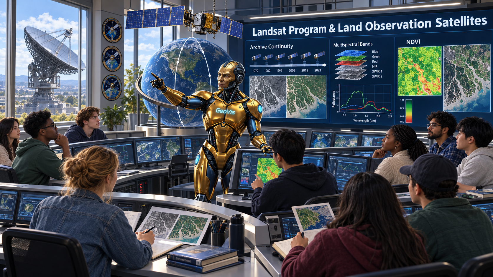
Landsat Program & Land Observation Satellites
A course on land observation satellites and the Landsat program, treating the va…
William T. Pecora
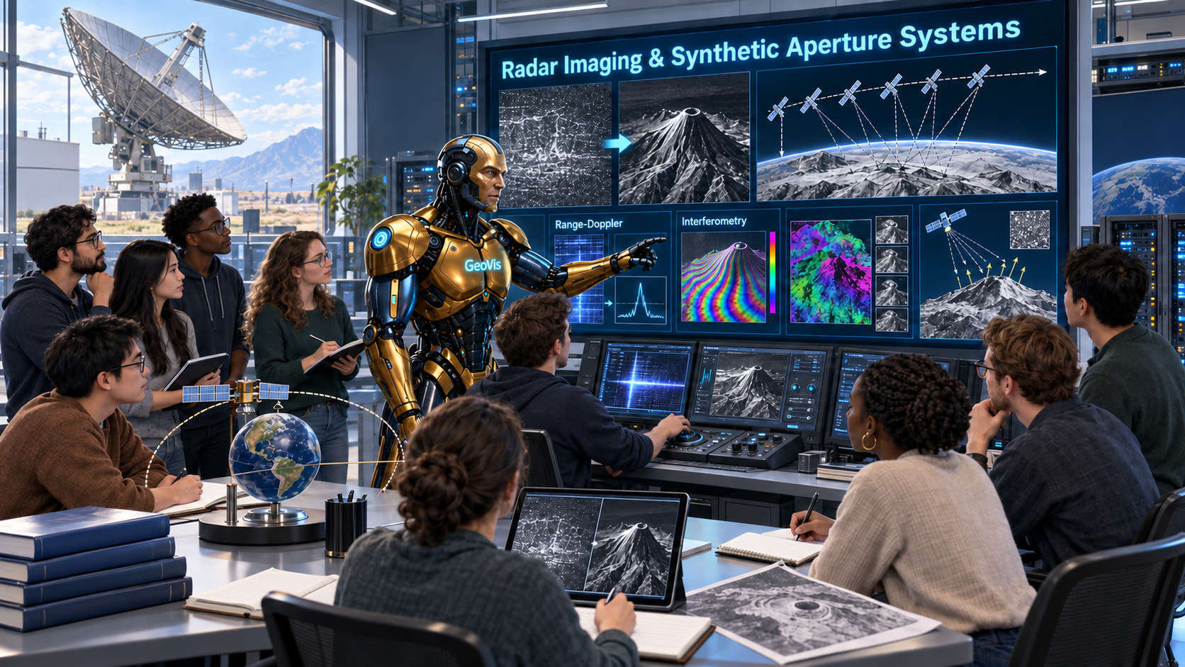
Radar Imaging & Synthetic Aperture Systems
A course on radar imaging and synthetic aperture systems, teaching the principle…
Robert Morris Page
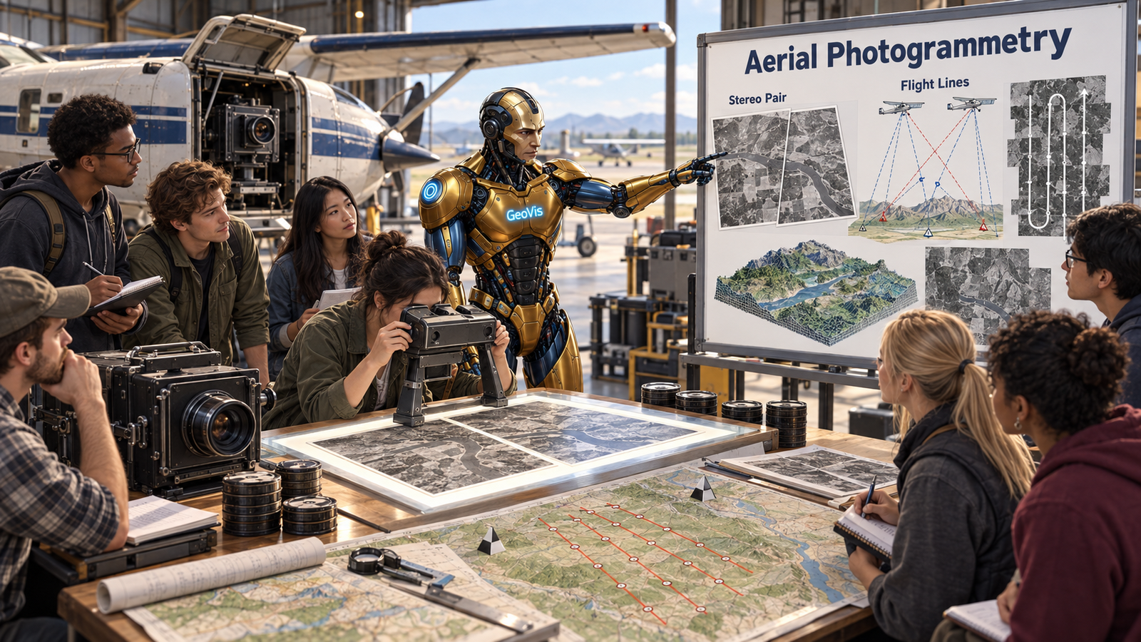
Aerial Photogrammetry
A course on aerial photogrammetry, treating the principles from the geometry of …
Sherman Fairchild
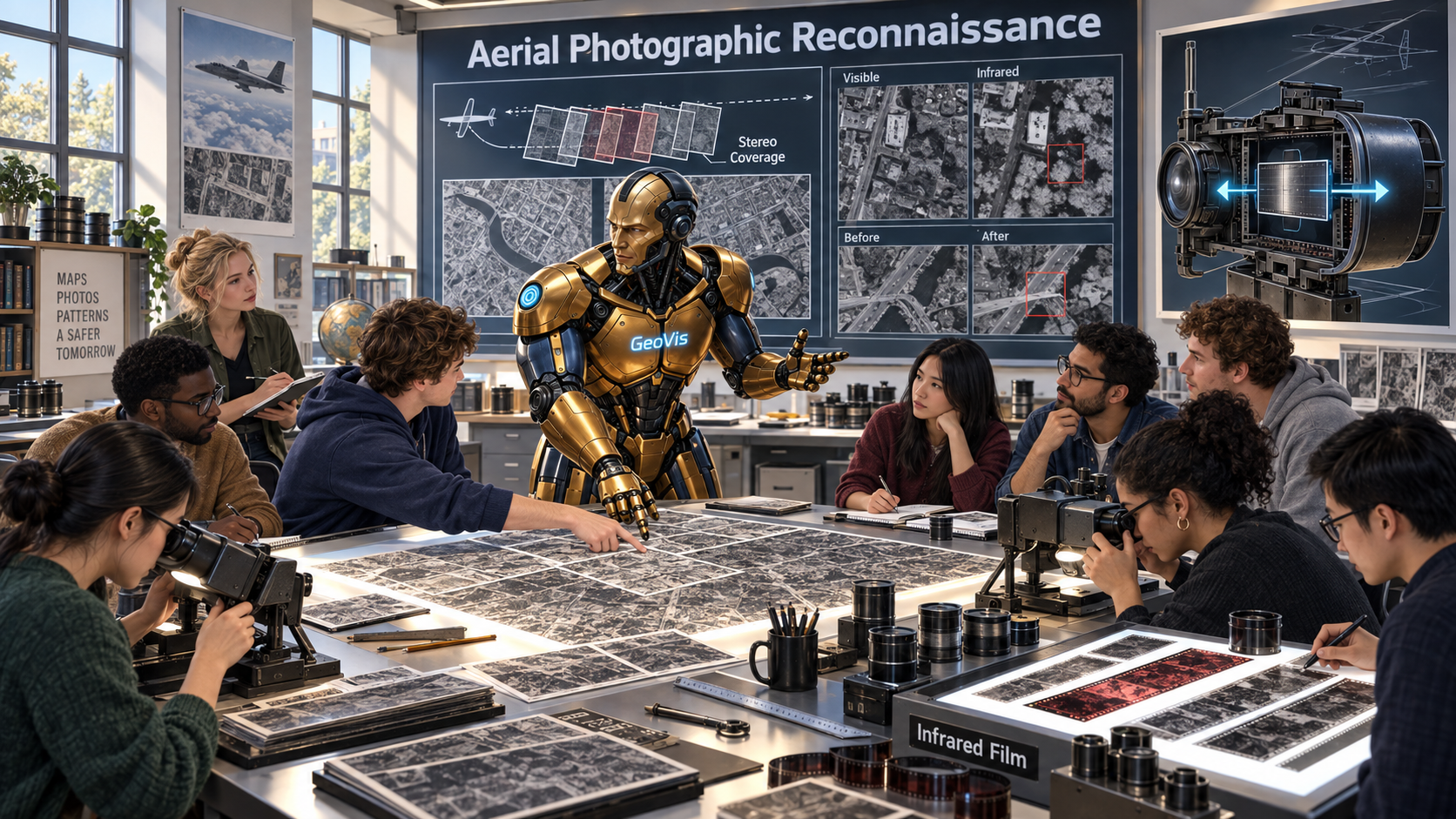
Aerial Photographic Reconnaissance
A course on the history and techniques of aerial photographic reconnaissance, tr…
George W. Goddard
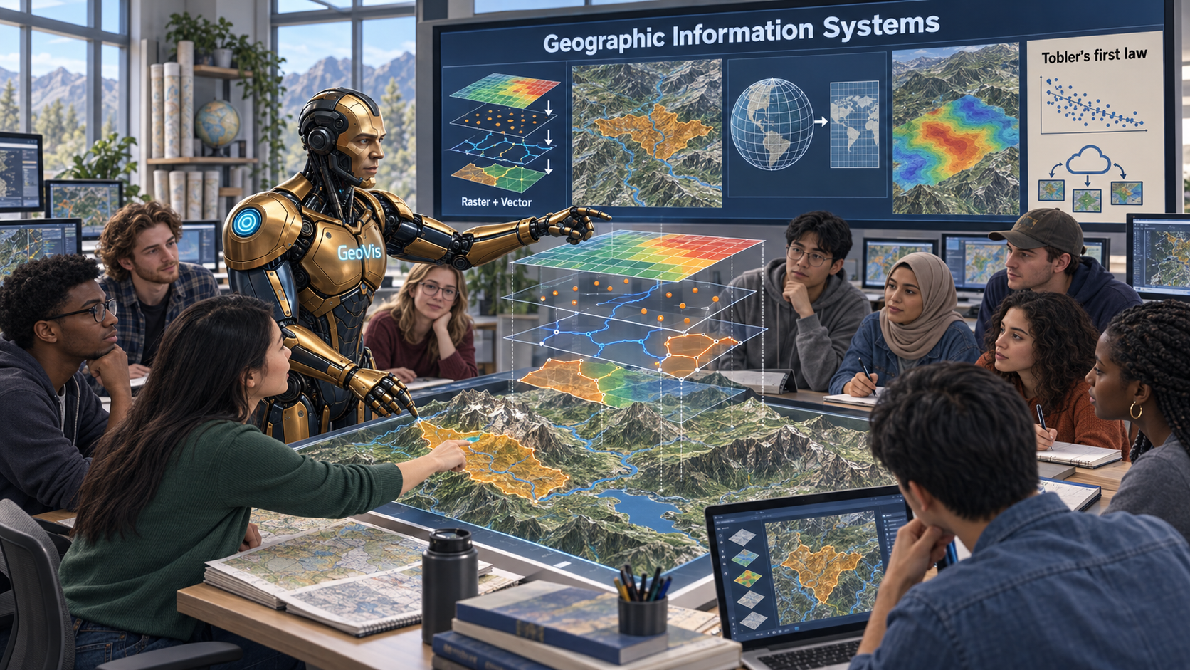
Geographic Information Systems
A course on geographic information systems, establishing the conceptual system o…
Waldo Tobler
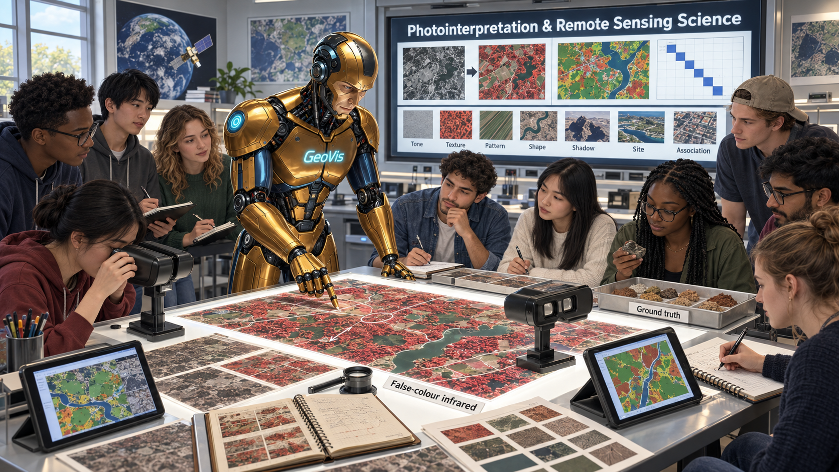
Photointerpretation & Remote Sensing Science
A course on photointerpretation and remote sensing science, training the interpr…
Robert N. Colwell
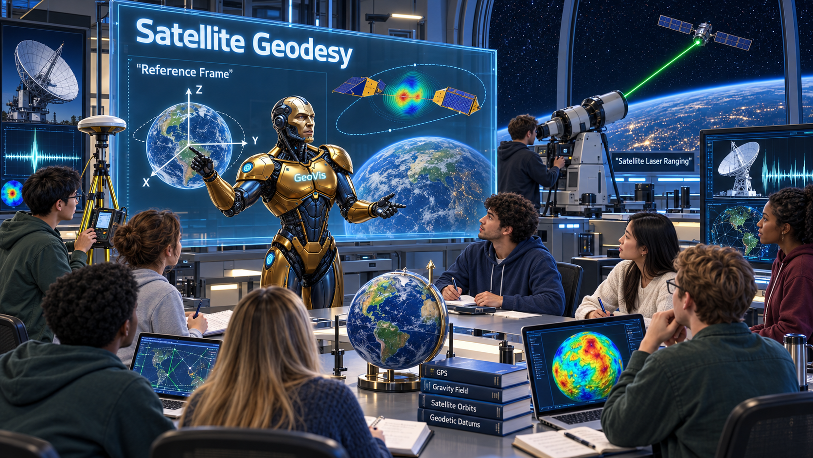
Satellite Geodesy
Satellite Geodesy
A course on satellite geodesy, teaching the principles of measuring Earth's shap…
John A. O'Keefe
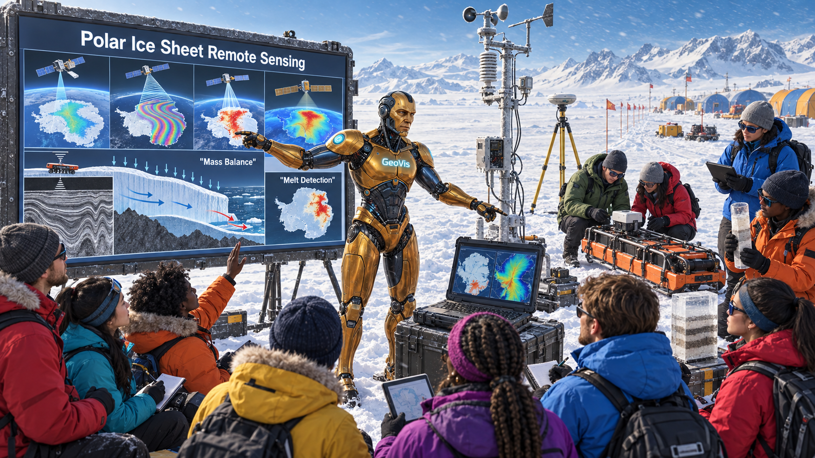
Polar Ice Sheet Remote Sensing
A course on polar ice sheet remote sensing, teaching the observation principles …
Konrad Steffen
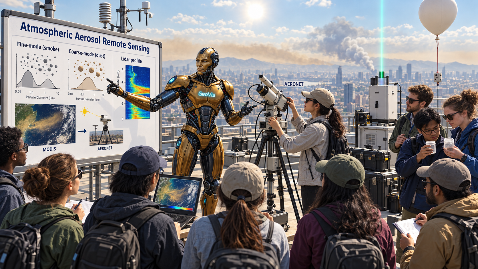
Atmospheric Aerosol Remote Sensing
A course on aerosol remote sensing, teaching the inversion logic of aerosol opti…
Yoram J. Kaufman
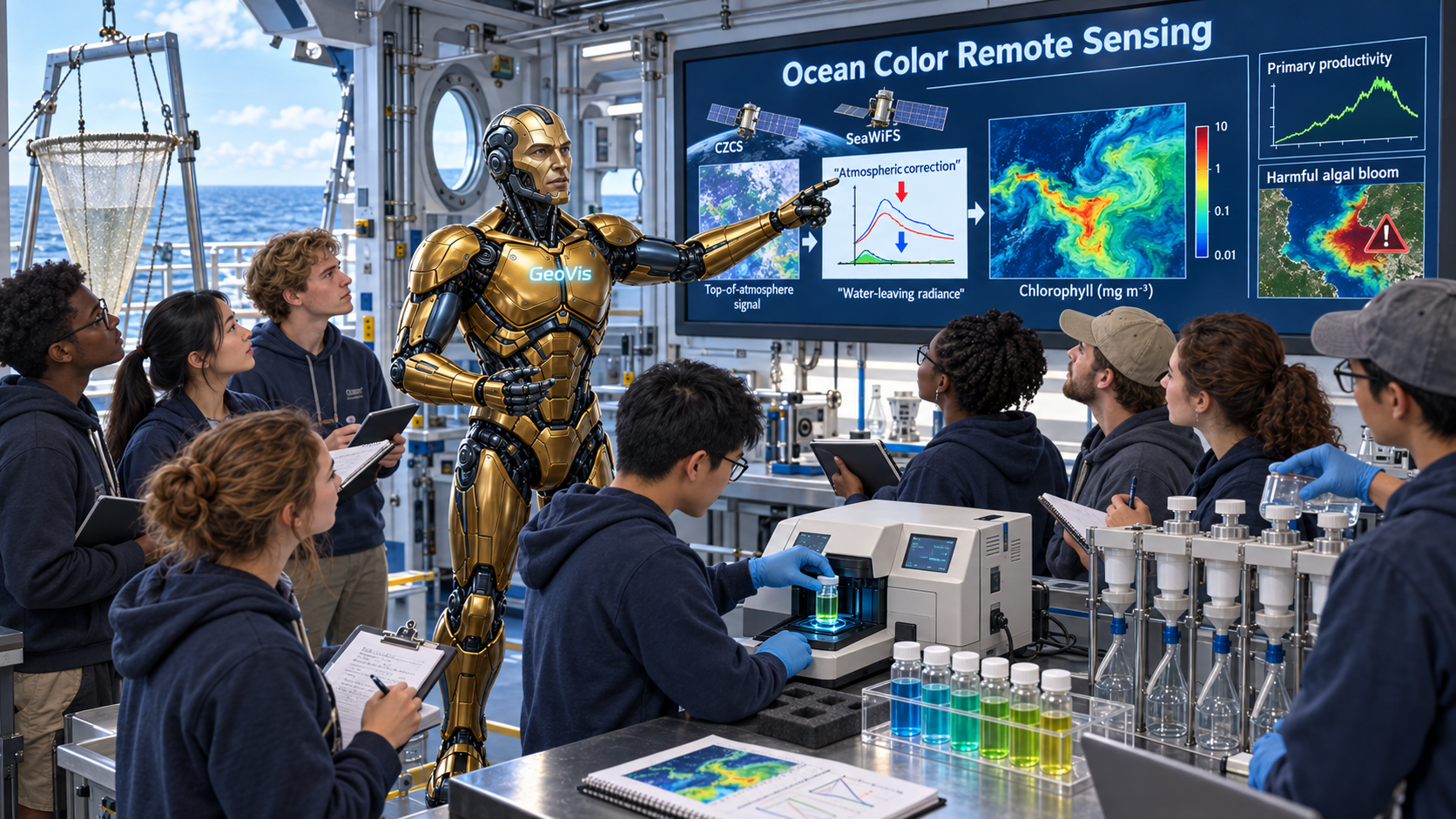
Ocean Color Remote Sensing
A course on ocean colour remote sensing, treating the inversion of chlorophyll, …
Charles S. Yentsch
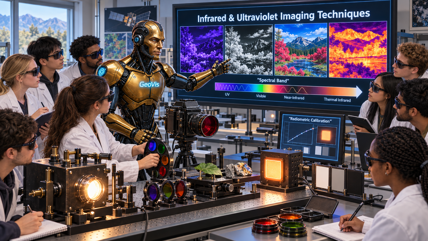
Infrared & Ultraviolet Imaging Techniques
A course on infrared and ultraviolet imaging techniques, teaching the materials …
Robert W. Wood
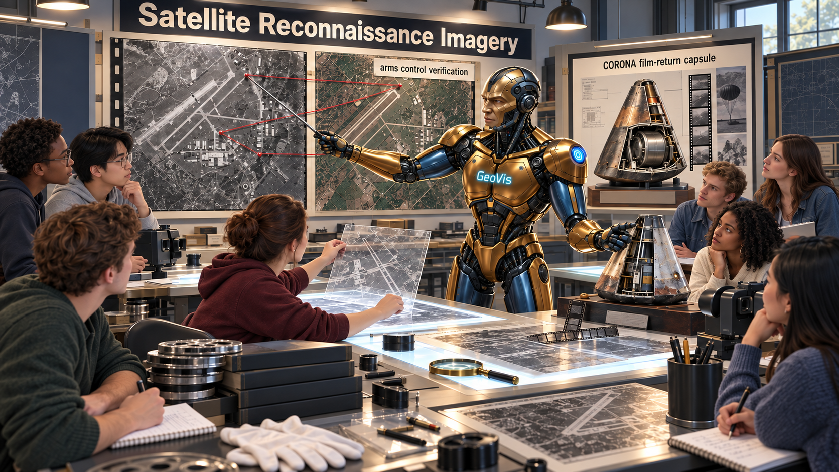
Satellite Reconnaissance Imagery
A course on the history and legacy of satellite reconnaissance imagery, treating…
Amrom Katz
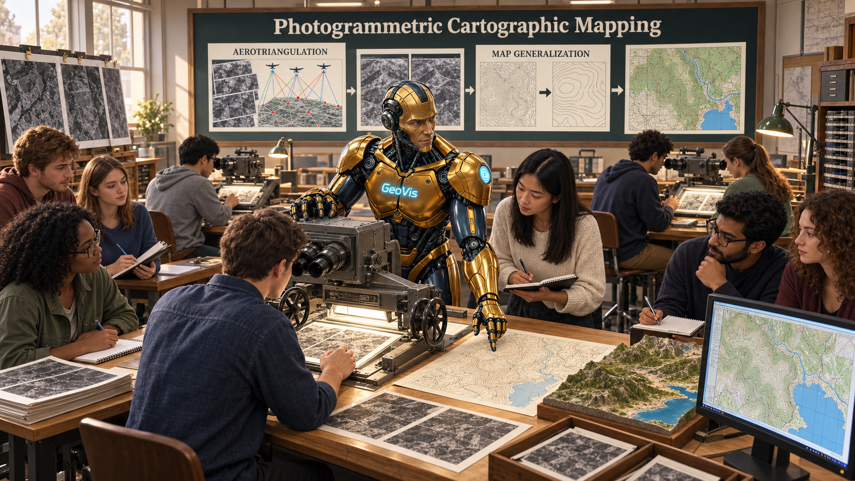
Photogrammetric Cartographic Mapping
A course on photogrammetric cartography, teaching the industrial process running…
Talbert Abrams
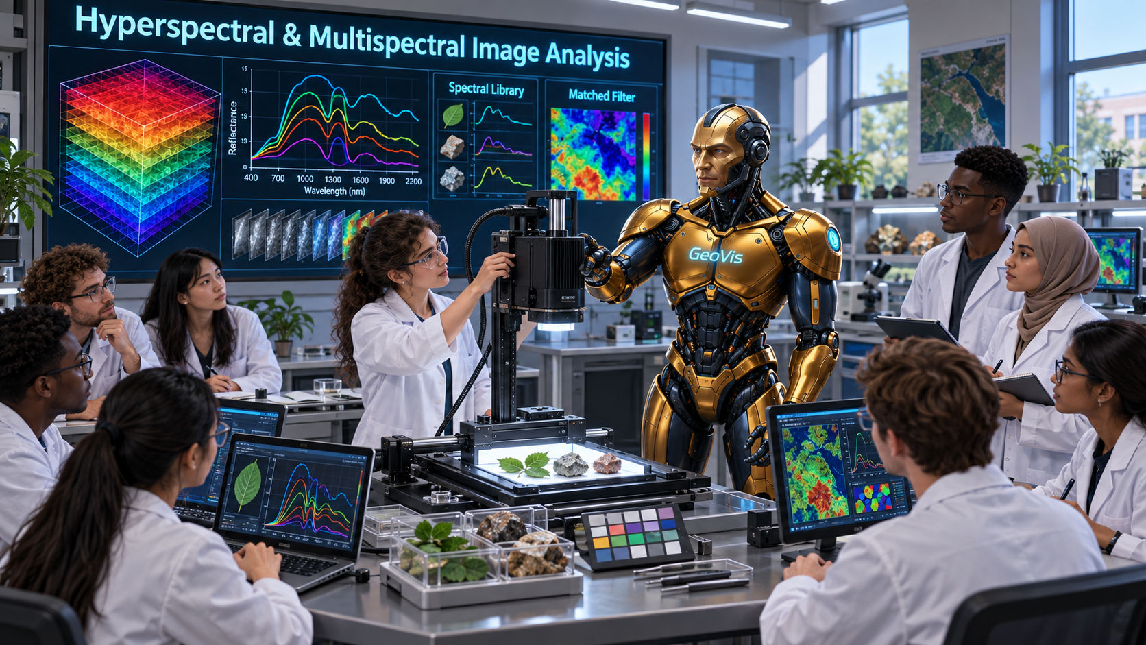
Hyperspectral & Multispectral Image Analysis
A course on hyperspectral and multispectral image analysis, treating the data mo…
David A. Landgrebe