← Intelligent Geophysical Exploration College
Seismic Exploration & Imaging Department
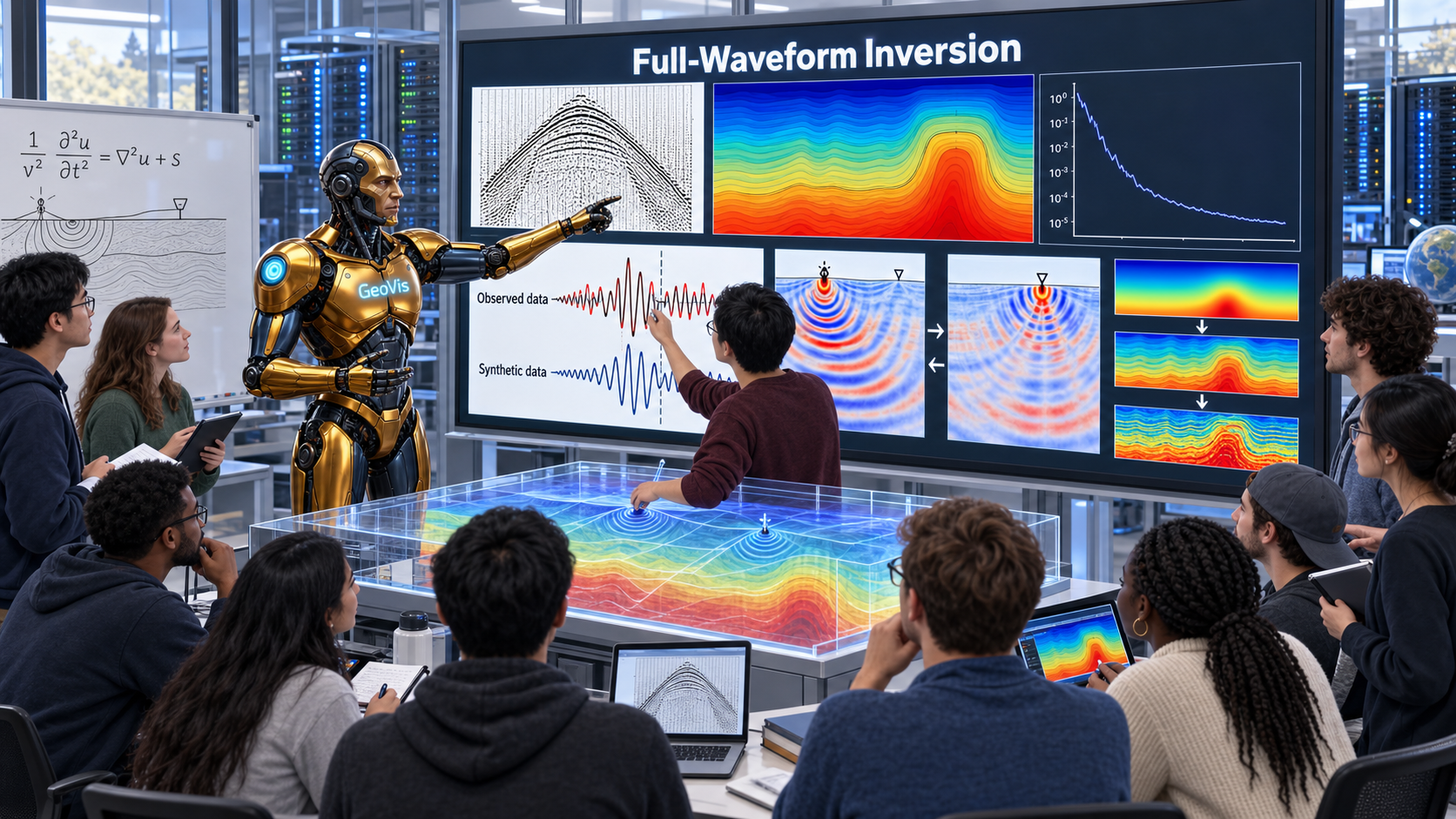
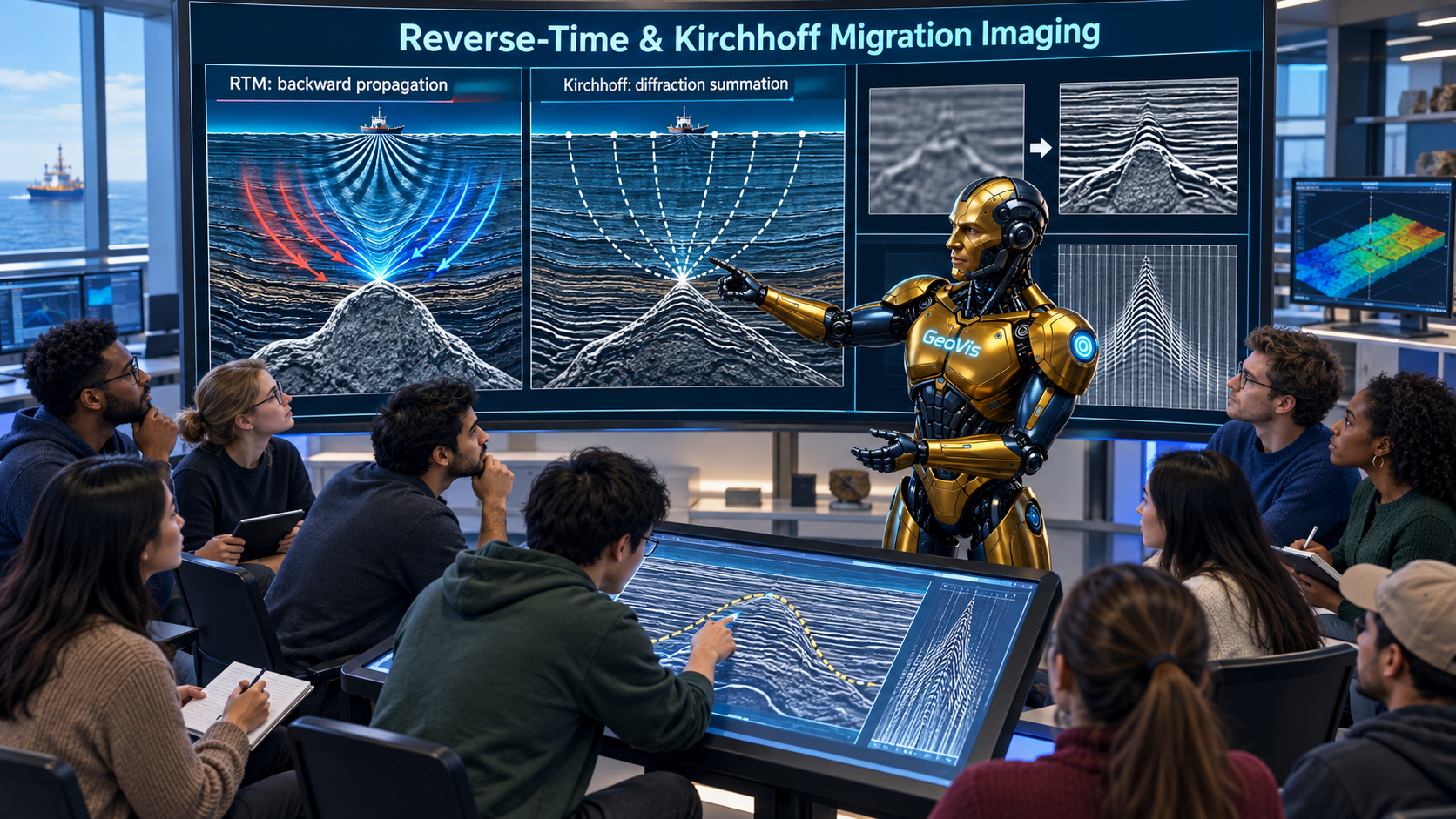
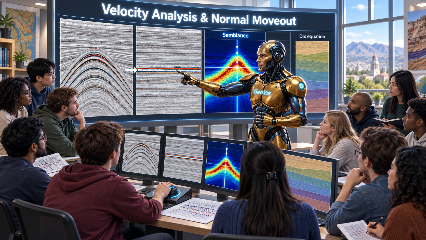
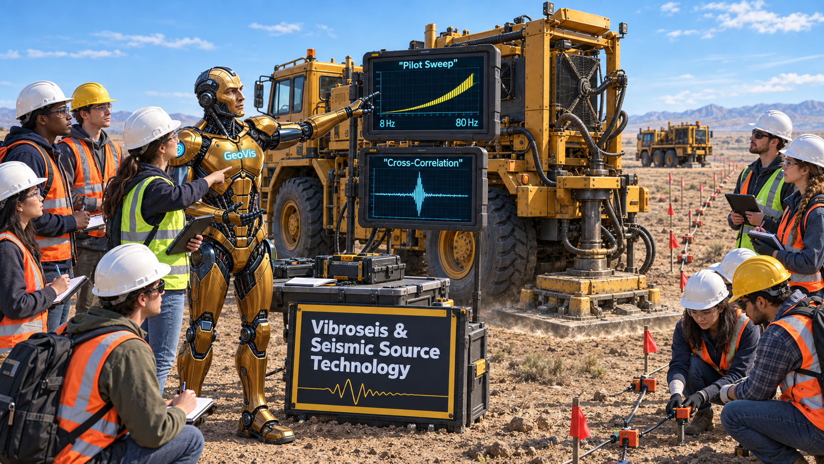
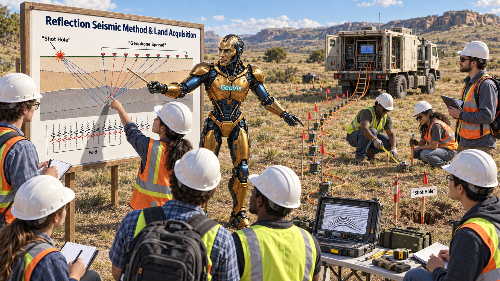
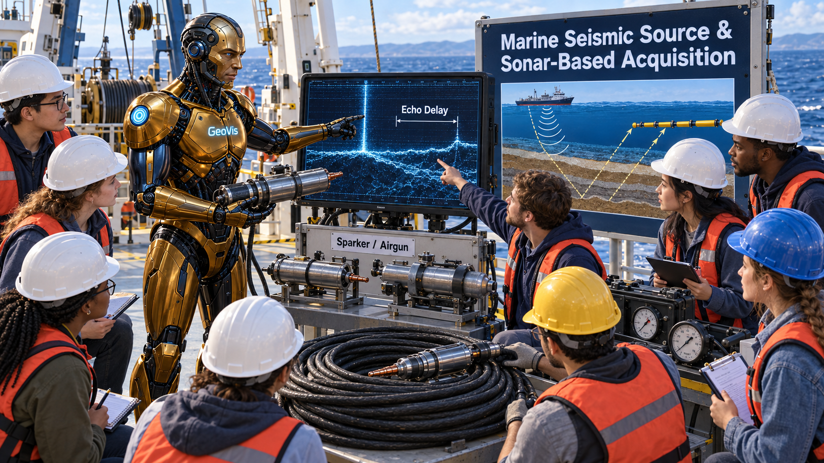
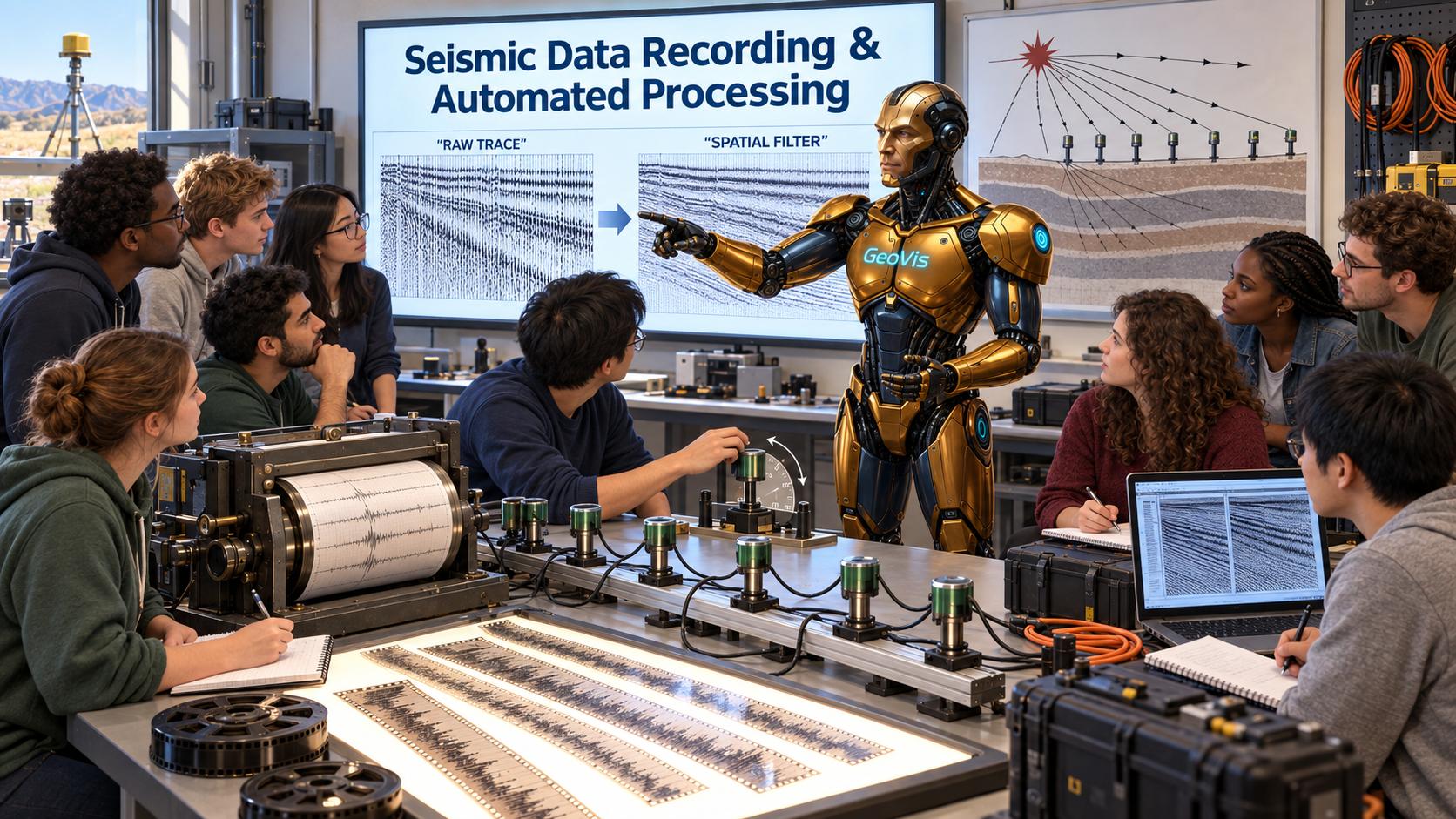
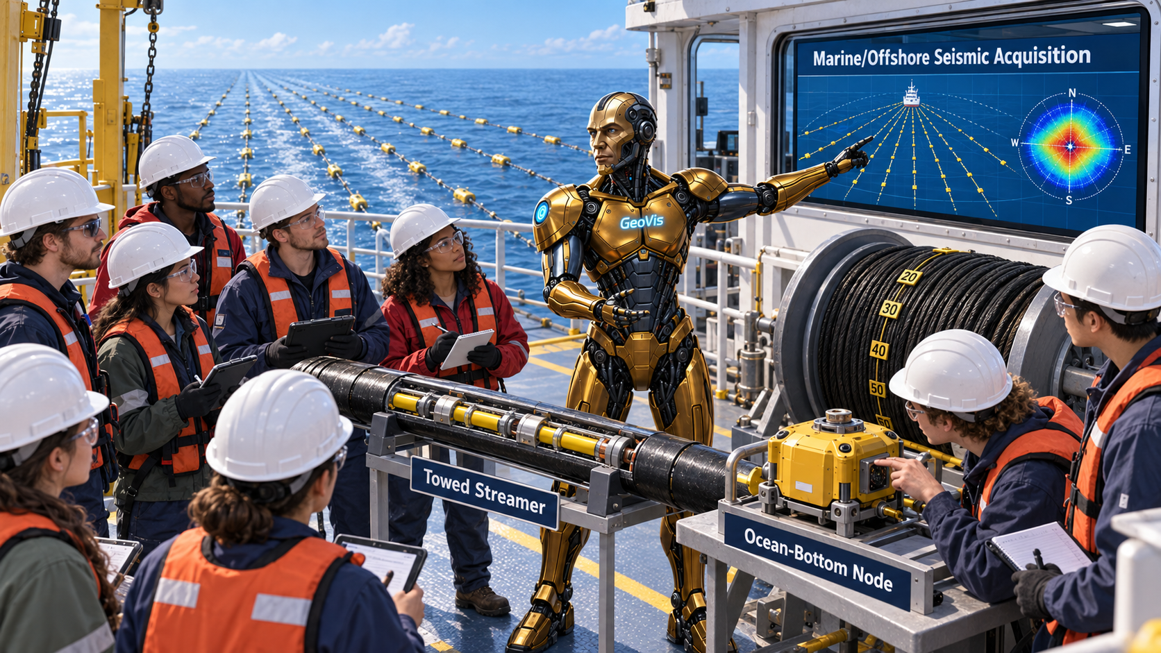
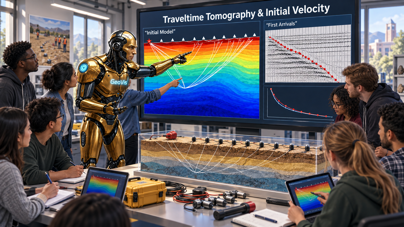
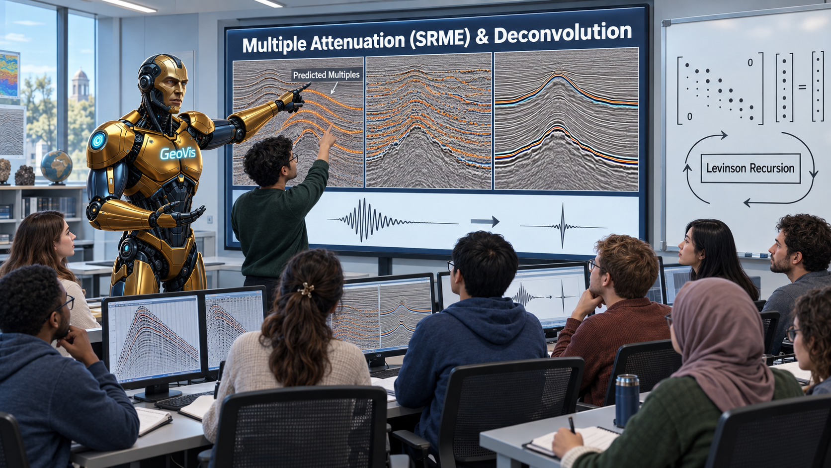
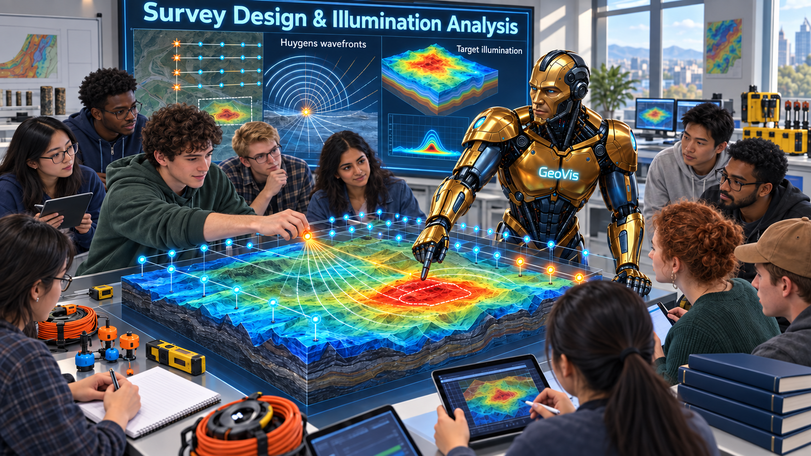
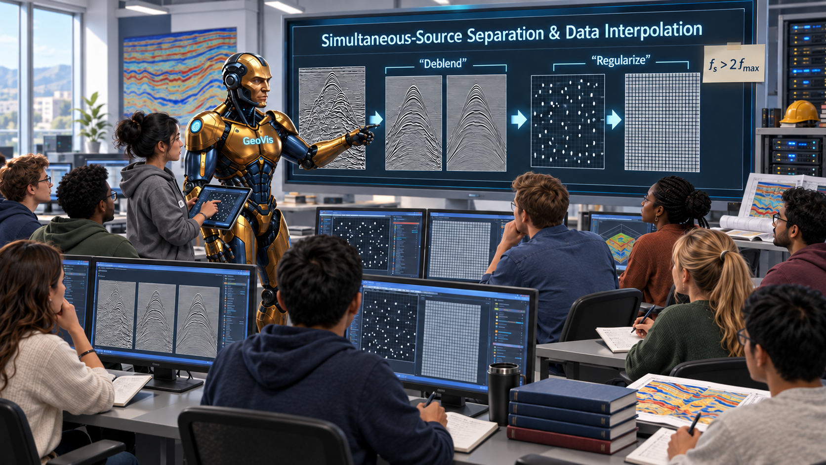
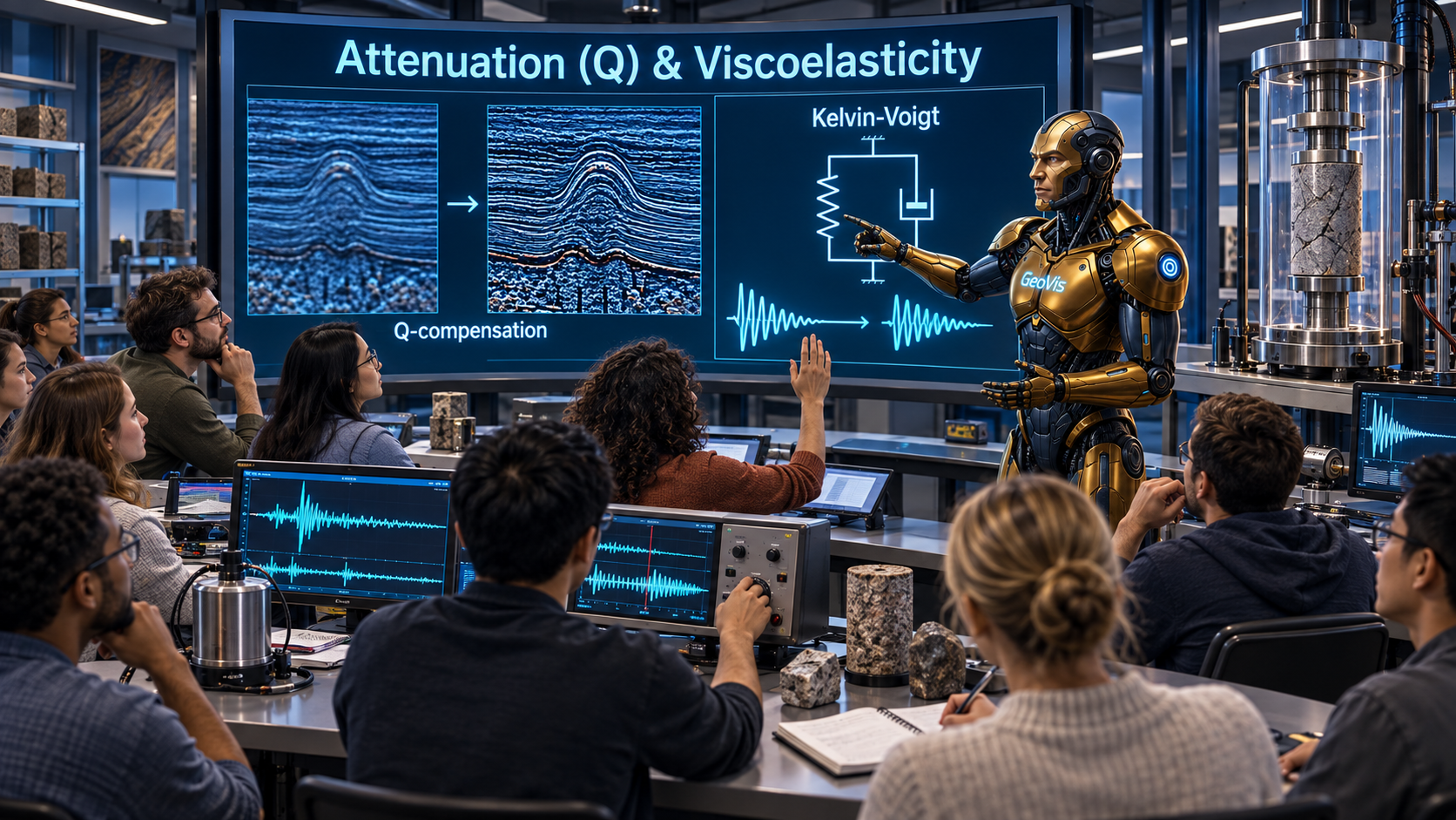
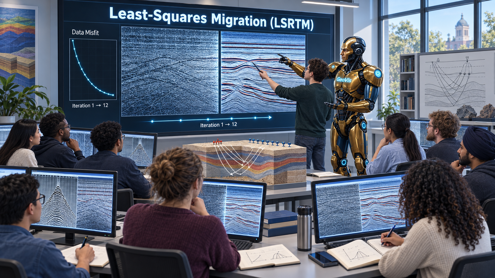
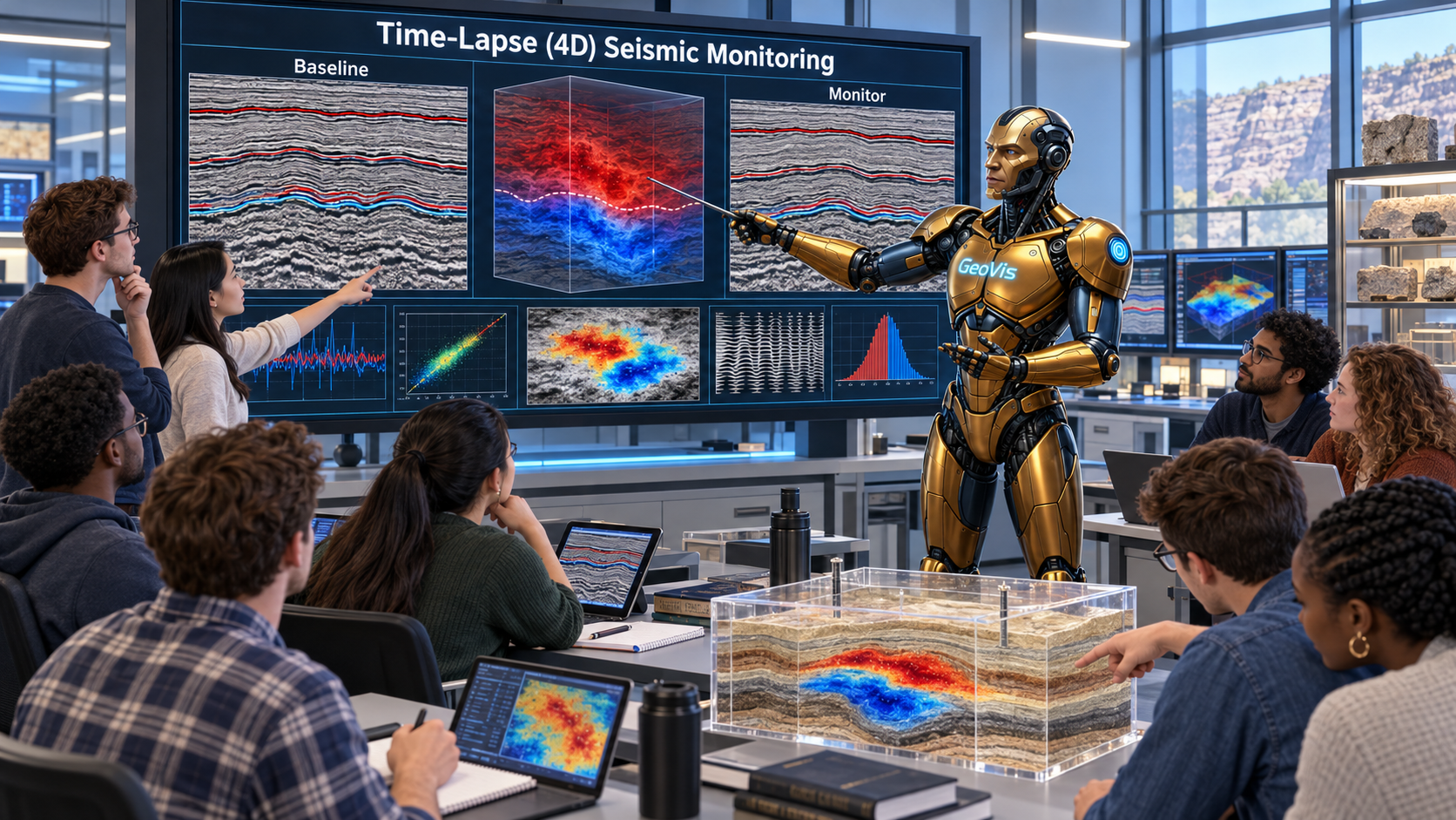
The Seismic Exploration & Imaging Department teaches the full pipeline of seismic acquisition, processing, and imaging technology for high-resolution subsurface characterization. Through hands-on work in reflection seismic processing, velocity-model building, and structural imaging, students learn techniques applicable to oil and gas exploration and CO2 storage site evaluation. Graduates can take a seismic dataset all the way from acquisition to final imaging by themselves, start to finish.
⚙️ GeoAcademy System Administration College🖥️ AI & Computing Sciences College🔬 Basic Sciences College⚡ Intelligent Geophysical Exploration College🛢️ Resource & Energy Engineering College🌍 Applied Geoscience Solutions College💼 Economics, Policy & Strategy for the Future College🎓 Education & Training Development College🚀 Innovation & International Collaboration College
Field-based Curriculum · 23
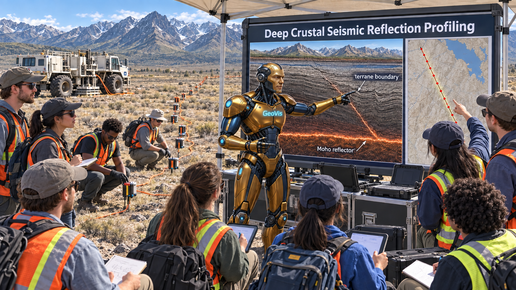
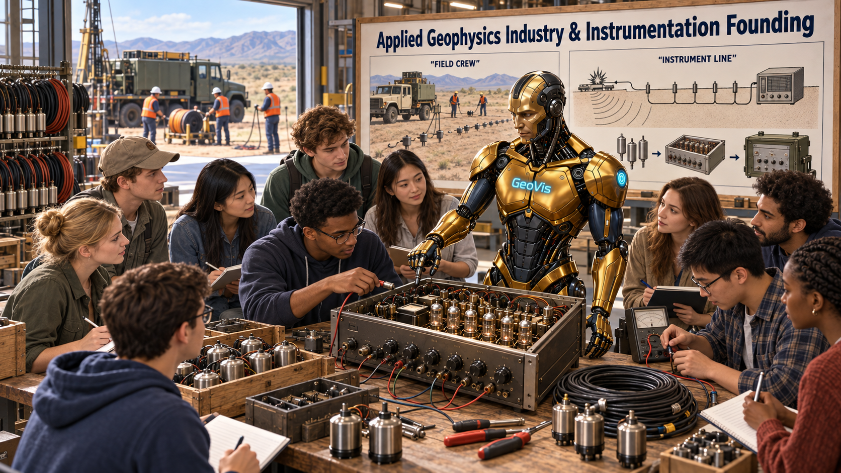
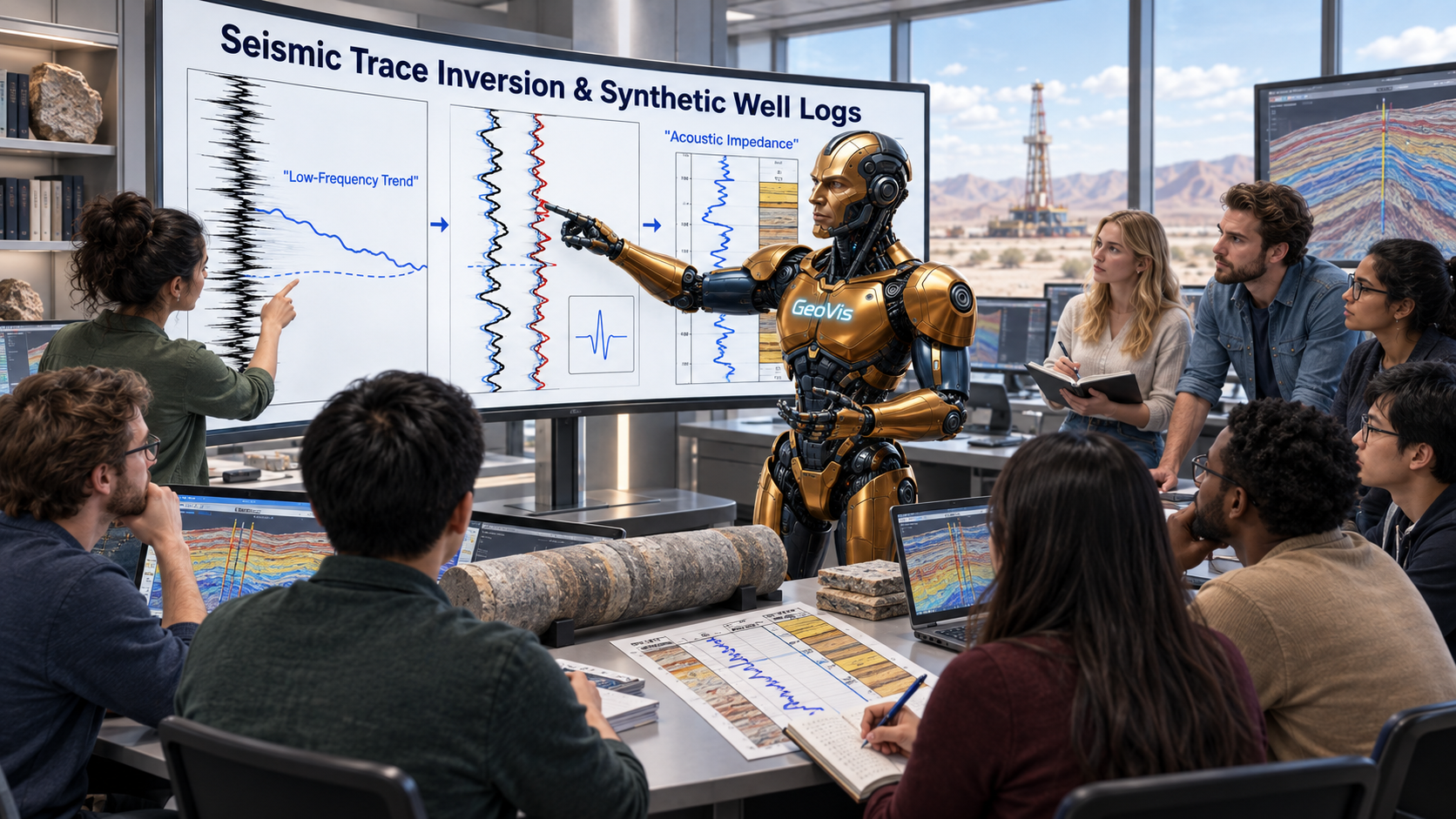
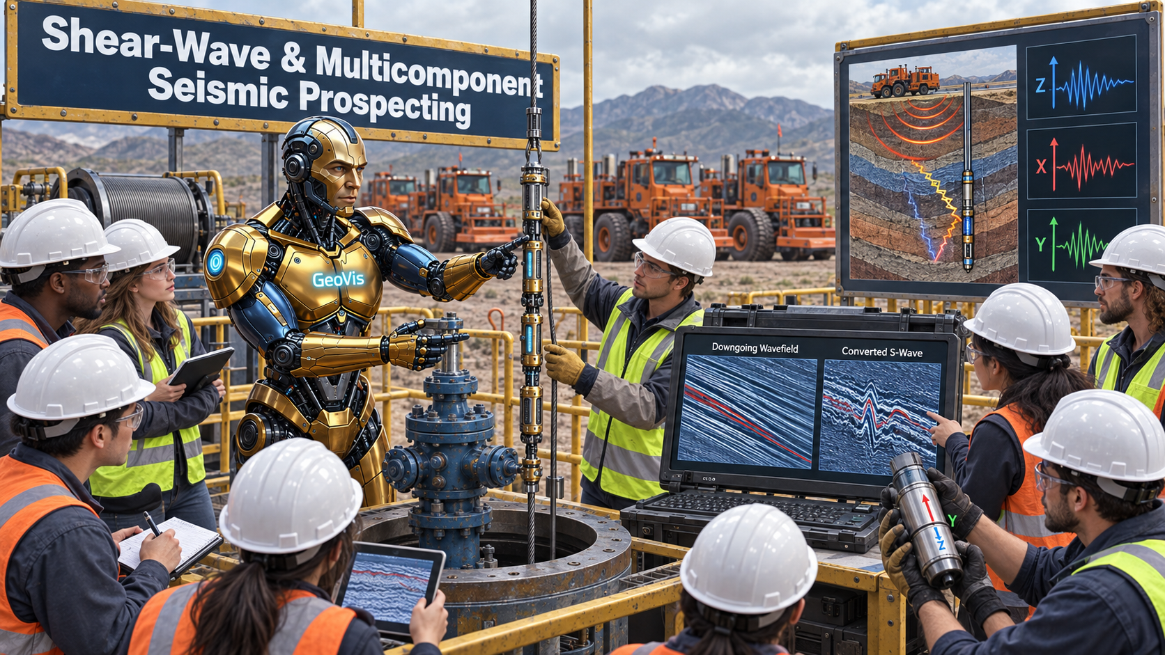
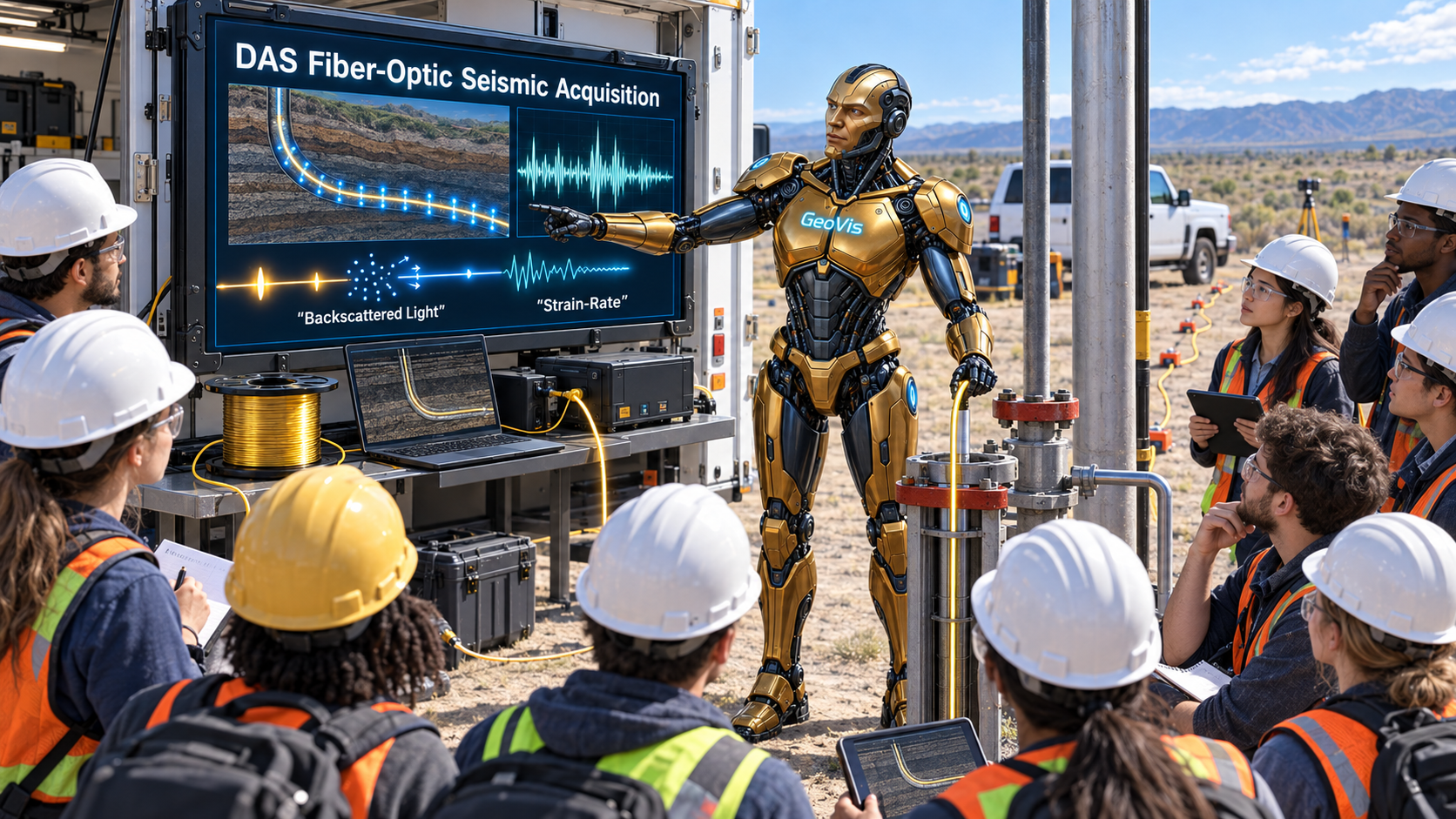
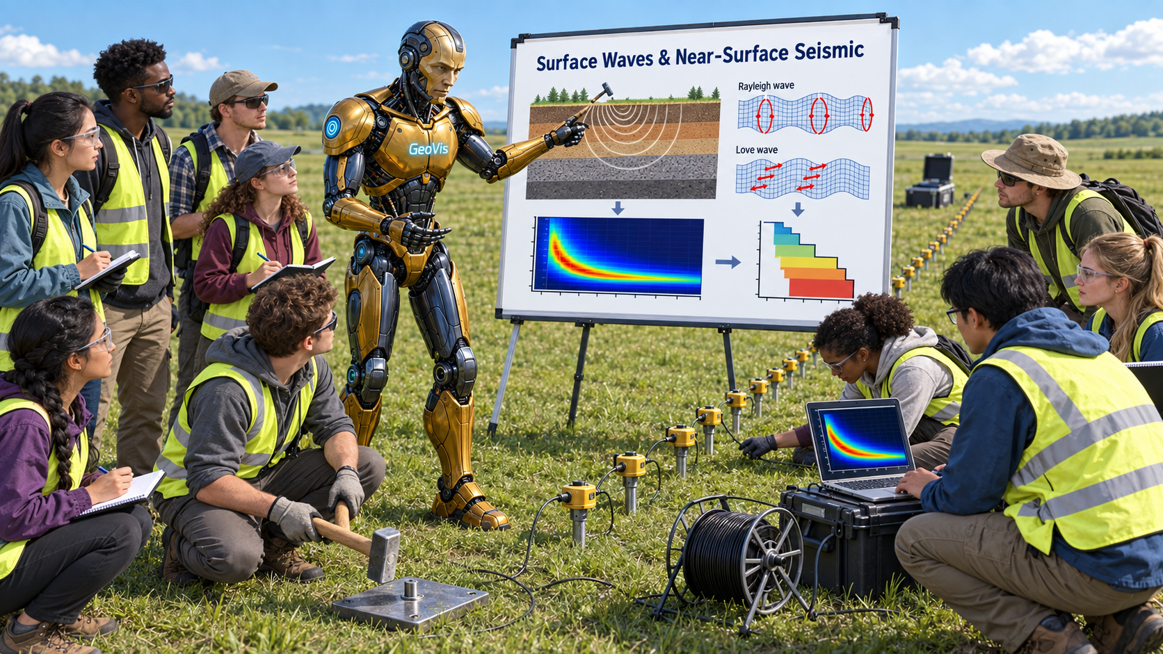
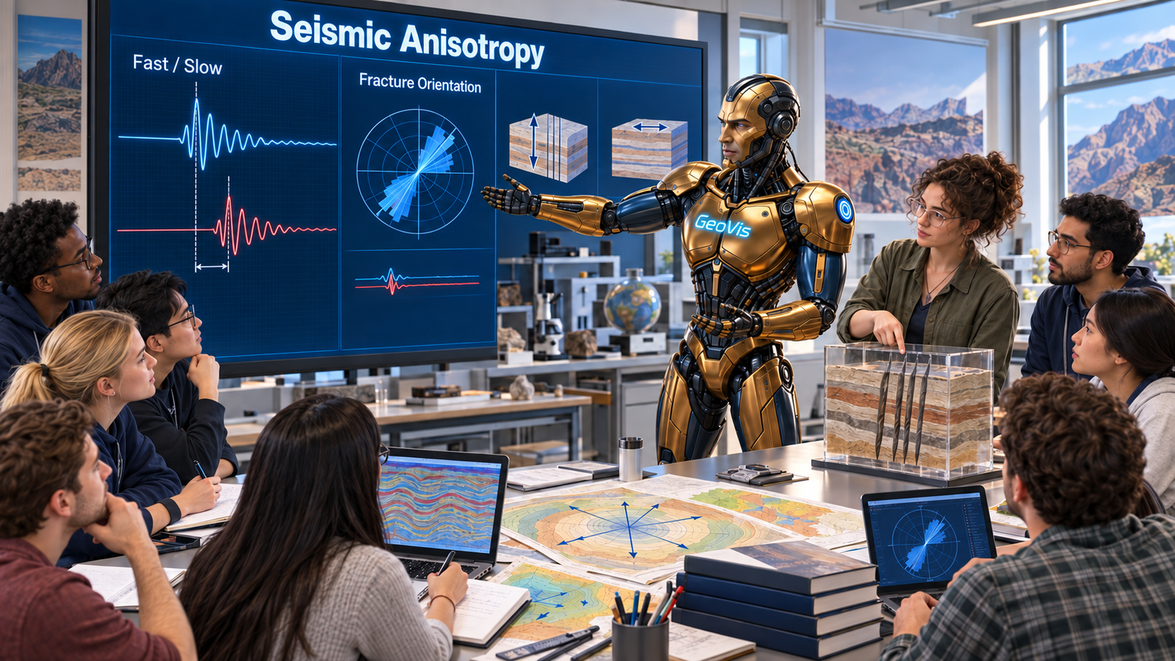
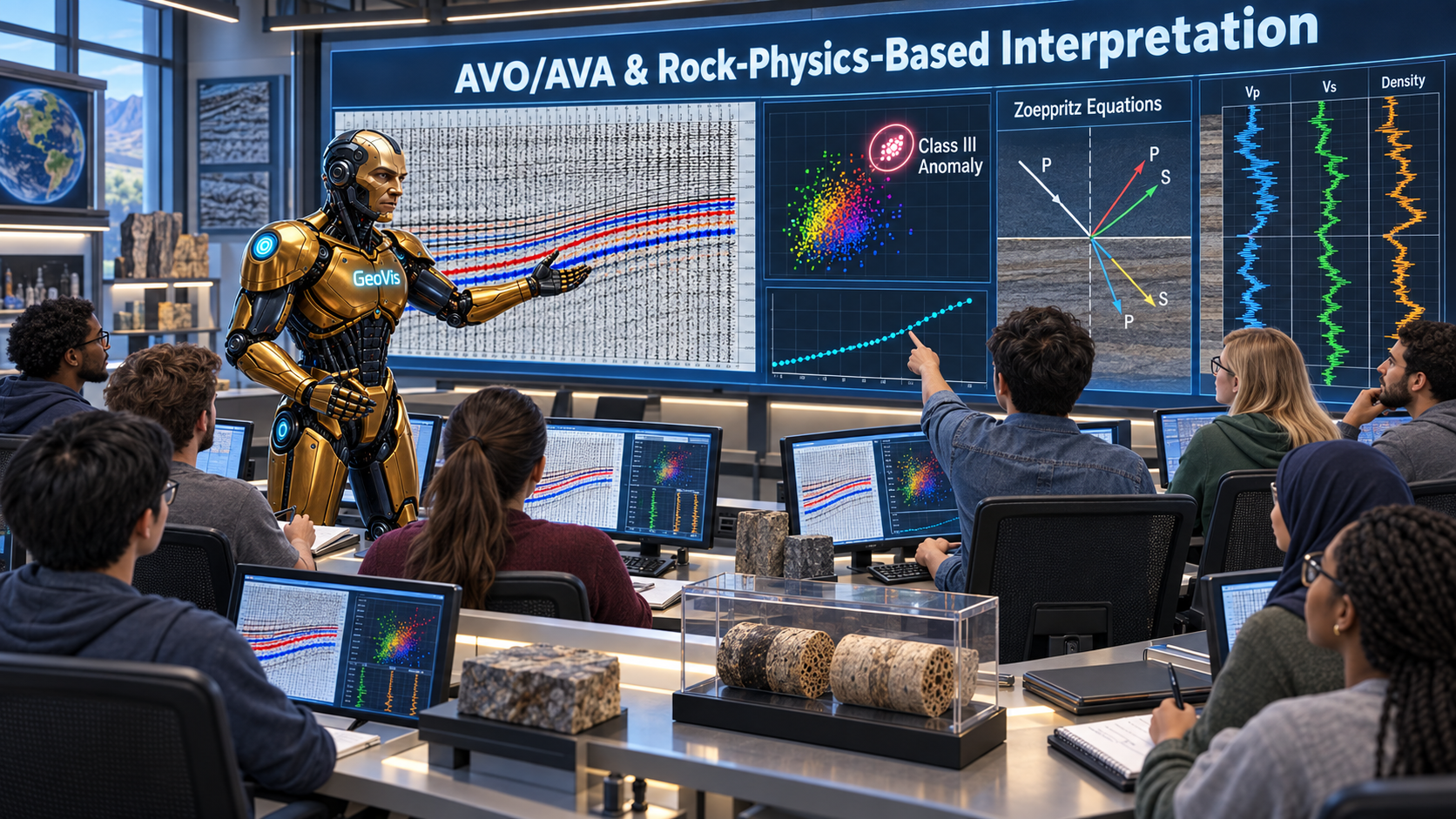
This department's curriculum is built directly on the GeoVerse Lab research fields its professors hold — click a field to see how it is taught.