๐ŸŽ“GeoAcademyGeoVerse Lab
โ† Applied Geoscience Solutions College

Land Site Survey & Assessment Department

Land Site Survey & Assessment trains specialists to accurately characterize subsurface conditions before infrastructure construction โ€” tunnels, dams, and industrial facilities. Students learn to integrate heterogeneous data โ€” engineering-geological mapping, GPR, and borehole records โ€” into a coherent ground model, and repeatedly practice evaluating rock-quality classification and hydrogeological behavior through simulation. With the integrative skill to weave diverse survey data into a single ground model, graduates can take ownership of the site-investigation phase of infrastructure projects.
โš™๏ธ GeoAcademy System Administration College๐Ÿ–ฅ๏ธ AI & Computing Sciences College๐Ÿ”ฌ Basic Sciences Collegeโšก Intelligent Geophysical Exploration College๐Ÿ›ข๏ธ Resource & Energy Engineering College๐ŸŒ Applied Geoscience Solutions College๐Ÿ’ผ Economics, Policy & Strategy for the Future College๐ŸŽ“ Education & Training Development College๐Ÿš€ Innovation & International Collaboration College
Carbon Capture & Storage Project DepartmentNuclear Waste Disposal Project DepartmentOil & Gas Exploration Project DepartmentApplied Geothermal Energy Project DepartmentGeohazards & Monitoring Project DepartmentOffshore Wind Farm Project DepartmentCritical Minerals Exploration DepartmentLand Site Survey & Assessment DepartmentSpecial Applications DepartmentEnvironmental Geoscience Department
Smith๐Ÿ”‘
โญ Smith
Chair
๐Ÿ’ก Geological Mapping & Site Investigation

Researchers (real GeoVerse Lab members) 13

๐Ÿง‘โ€๐Ÿ”ฌ
๐Ÿ”‘
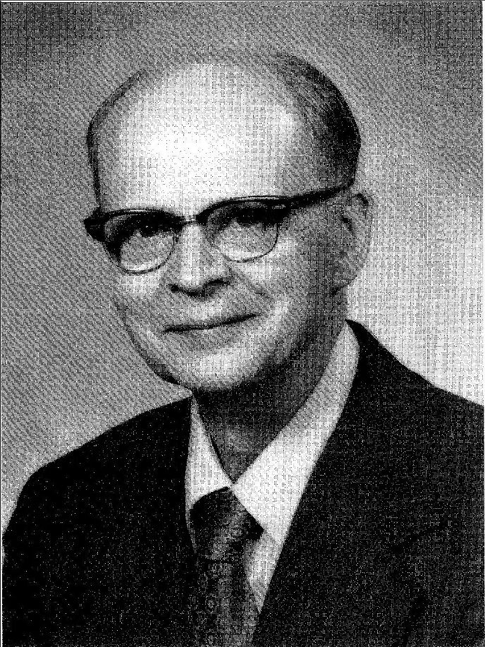
1912โ€“2008
Ralph Brazelton Peck
Researcher
๐Ÿ’ก Co-founder of the observational method in geotechnical engineering, co-author of the standard soil mechanics textbook with Terzaghi
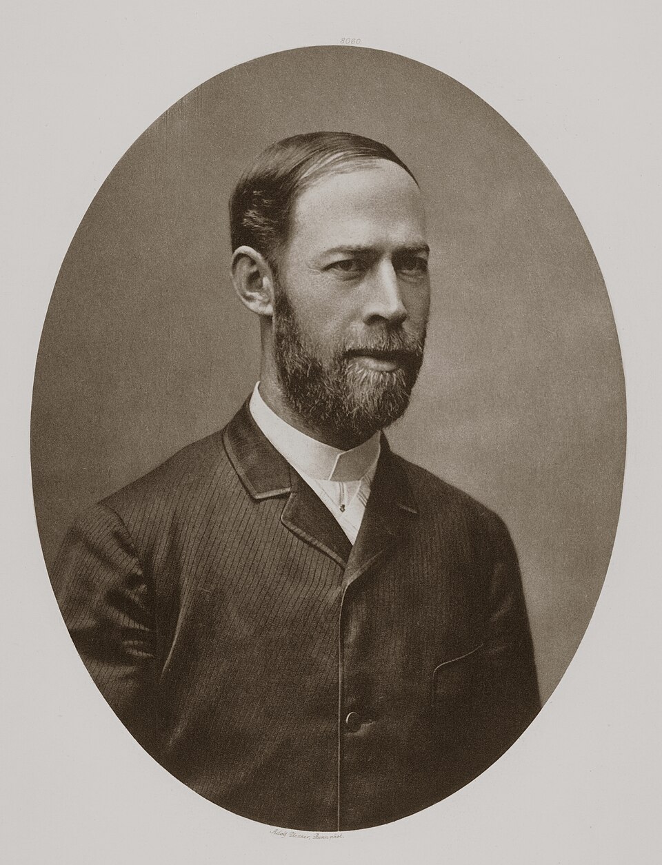
Heinrich Hertz๐Ÿ”‘
1857โ€“1894
Heinrich Hertz
Researcher
๐Ÿ’ก First experimental proof of the existence of electromagnetic waves (1887)
๐Ÿง‘โ€๐Ÿ”ฌ
๐Ÿ”‘
1933โ€“2024
Evert Hoek
Researcher
๐Ÿ’ก Co-developer of the Hoek-Brown failure criterion for rock mass strength, the leading rock mass classification framework used worldwide
๐Ÿง‘โ€๐Ÿ”ฌ
๐Ÿ”‘
1875โ€“1945
Robert E. Horton
Researcher
๐Ÿ’ก Founder of quantitative infiltration theory and modern hydrology (Horton overland flow)
Lord Rayleigh๐Ÿ”‘
1842โ€“1919
Lord Rayleigh
Researcher
๐Ÿ’ก Discovered Rayleigh surface waves in elastic solids (1885), the wave type that MASW surveys measure
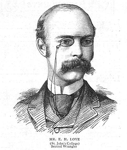
Augustus Edward Hough Love๐Ÿ”‘
1863โ€“1940
Augustus Edward Hough Love
Researcher
๐Ÿ’ก Discovered Love waves, a horizontally-polarized seismic surface wave type requiring a layered elastic medium (1911)
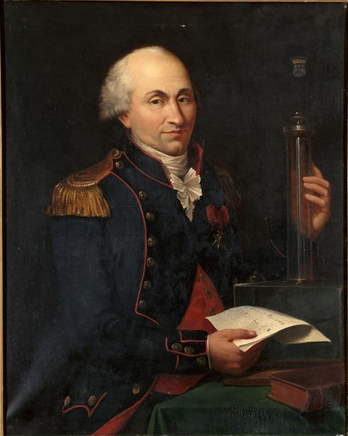
Charles-Augustin de Coulomb๐Ÿ”‘
1736โ€“1806
Charles-Augustin de Coulomb
Researcher
๐Ÿ’ก Derived the frictional-cohesive shear strength criterion for soils and earth pressure theory (1776)
Arthur Casagrande๐Ÿ”‘
1902โ€“1981
Arthur Casagrande
Researcher
๐Ÿ’ก Developed the Unified Soil Classification System (USCS) and pioneered consolidation/pre-consolidation load determination
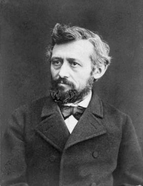
Carl Culmann๐Ÿ”‘
1821โ€“1881
Carl Culmann
Researcher
๐Ÿ’ก Founder of graphical statics, the graphical method for analyzing forces in structures and earth masses (1866)
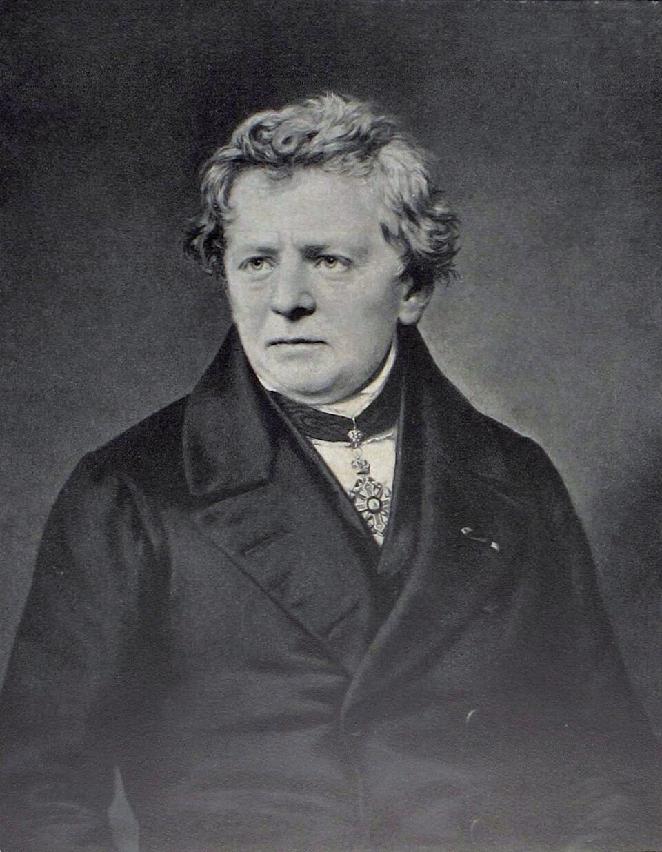
Georg Simon Ohm๐Ÿ”‘
1789โ€“1854
Georg Simon Ohm
Researcher
๐Ÿ’ก Discovered Ohm's law relating current, voltage, and resistance (1827)
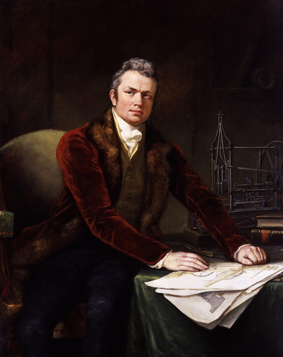
Marc Isambard Brunel๐Ÿ”‘
1769โ€“1849
Marc Isambard Brunel
Researcher
๐Ÿ’ก Invented the tunneling shield method, used to construct the first tunnel under a navigable river (Thames Tunnel, 1825-1843)
๐Ÿง‘โ€๐Ÿ”ฌ
๐Ÿ”‘
1891โ€“1960
Andre Coyne
Researcher
๐Ÿ’ก Leading 20th-century arch dam design engineer, developed systematic dam foundation and abutment site investigation practice
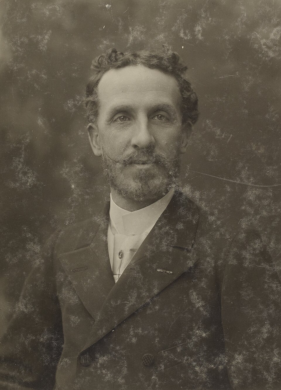
Edouard-Alfred Martel๐Ÿ”‘
1859โ€“1938
Edouard-Alfred Martel
Researcher
๐Ÿ’ก Founder of speleology (scientific cave/karst study)